What is recorded here
No wall or gate remains above ground, yet the soil still holds the shape of a room built before the church. The enclosure lies beneath the older sacred boundary at Ballymodan, waiting under grass and memory. People may have gathered there in darkness, marked only by breath and the pressure of feet on earth. The land kept the angle of their walls long after every hand that shaped them had returned to it.
To the N of and underlying the early ecclesiastical enclosure (CO110-033001-) which surrounds Ballymodan graveyard (CO110-033002-). The cropmark of a possible enclosure with two straight sides (W and N) joined by a curving third side is visible in an aerial photograph (Dr DDC Pochin Mould) taken in 1997. There are no visible remains of this possible enclosure at ground level.
The above description is derived from 'The Archaeological Inventory of County Cork. Volume 5' (Dublin: Stationery Office, 2009).
Date of upload: 22 December 2009
This remains an important historical record, but the official description says the monument is no longer visible or has been destroyed. The monument record does not grant public access. Check the route and ask the landowner before entering private land.
- What survives
- No visible remains or recorded as destroyed
Places near here
 Ecclesiastical enclosure in Clogheenavodig,cloghmacsimon ,knockanreagh,moanaroneEcclesiastical enclosure · 145 yd
 Ballymodan Grave YdGraveyard · 153 yd
 Carbury's WellSpring · 605 yd
 1916 Rising Monumentmonument · 649 yd
 The Mansemanse · 683 yd
 Bandon War MemorialMemorial · 816 yd
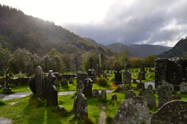 Graveyard in GullyGraveyard · 1305 yd
 Roche's WoodWood · 1.9 mi
 Cottage Road WoodWood · 2.3 mi
 Downdaniel Castle (in Ruins)Castle, tower house · 2.6 mi
 Marie LouiseWreck · 3.7 mi
 Carrighnassig Castle (Site of)Castle, unclassified · 3.8 mi