What is recorded here
Indicated is a crannog in Clogher (boyle By.), County Roscommon, Ireland. The oval earth and stone platform sits towards the east end of Clogher Lough and now attaches to the northeast shore. Three wooden posts remain visible underwater to the west-northwest, while Toberlonaun holy well stands on the south shore about 170m away.
Towards the E end of Clogher Lough (dims c. 1km E-W; c. 100-200m N-S) and now attached to the NE shore. Oval overgrown area (dims 27m NE-SW; 20m NW-SE; H 0.5-0.7m) composed of earth and stones. Three wooden posts are visible underwater at WNW. Toberlonaun holy well (RO010-032----) is on the S shore c. 170m to the S.
Compiled by: Michael Moore
Date of upload: 24 August 2010
The monument record does not grant public access. Check the route and ask the landowner before entering private land.
- What survives
- Recorded monument
Places near here
 ToberlonaunHoly well · 202 yd
 Moylung Castle (in ruins)Castle, unclassified · 441 yd
 TobernooneHoly well · 467 yd
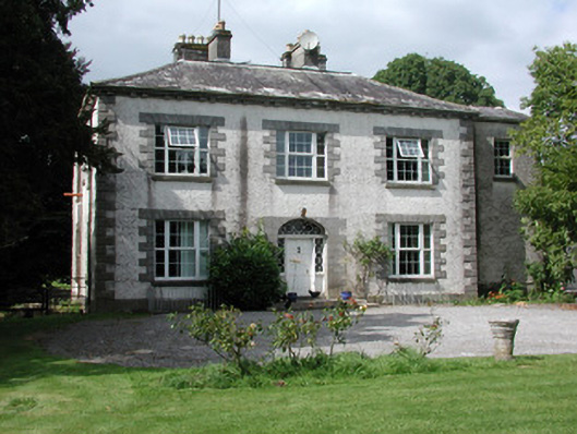 Moylurg Housecountry house · 604 yd
 R. C. ChapelChurch · 728 yd
 Castle (Site of)Castle, unclassified · 3.1 mi
 Lough Key Forest ParkWood · 3.1 mi
 Longford HillMountain / peak · 3.4 mi
 Horse-chestnutHorse-chestnut · 3.4 mi
 Western RedcedarWestern Redcedar · 3.5 mi
 Erris BayBay · 3.5 mi
 Boyle AbbeyHeritage attraction · 3.7 mi