What is recorded here
Just off the summit of a hill which overlooks the Suir river valley on a S-facing slope and surrounded by pasture. It is located on the N side of a graveyard (TS084-005001-). The church (dims. 5.9m N-S; c. 14.8m E-W) is in poor condition, most of the N wall has been crudely rebuilt using unmortared limestone rubble and the E wall has been reconstructed to a height of 2m. Only the original E part of the N wall survives (L 4m; max. H c. 3.6m) and this is constructed of randomly coursed limestone rubble with occasional sandstone masonry. Remains of a window, with only the E side of the sandstone embrasure surviving, is visible on the inner face of the N wall and appears to have been blocked-up in an earlier building phase. A possible sill of a single-light window is visible in the external face of this wall. There is no trace of the W wall. Only the E part of the S wall (L 8.6m) survives. At the E end of the S wall, a wall memorial has been inserted. It is made of limestone and has a central plaque with an inscribed inscription which is very faded, possibly dating to 1730. To either side of the plaque there is an incised scroll.
Compiled by: Jean Farrelly
Date of upload: 26 August 2011
This remains an important historical record, but the official description says the monument is no longer visible or has been destroyed. The monument record does not grant public access. Check the route and ask the landowner before entering private land.
- What survives
- No visible remains or recorded as destroyed
Places near here
 IndicatedHoly well · 224 yd
 Enclosure in BallynarahaEnclosure · 592 yd
 Glen Castle (in ruins)Castle, tower house · 678 yd
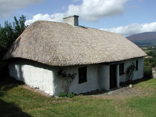 farm housefarm house · 1368 yd
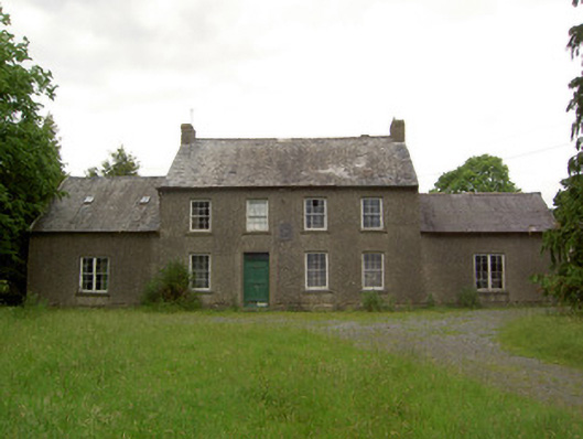 Mauganstown Housecountry house · 1386 yd
 Ballydine Ho.Castle, unclassified · 1627 yd
 Maurice DavinMemorial · 1.2 mi
 Pedunculate OakPedunculate Oak · 1.4 mi
 CarrigcoumMountain / peak · 1.5 mi
 Garden of RenewalNature reserve · 1.8 mi
 CarrigeenseebohillaMountain / peak · 2.6 mi
 Thomas KielyMemorial · 2.9 mi