What is recorded here
In a graveyard (MA103-002002-), adjacent to a church (MA103-002001-).
A low rectangular platform (17m E-W; 12.4m N−S) abuts the S wall of the church, extending the full E-W length of the wall. It is defined on the E, S and W sides by a grass-covered scarp (H 0.4-0.5m). Small, low uninscribed stone gravemarkers densely cover the platform surface, many set upright in the ground, others apparently lying on the surface. Similar gravemarkers are evident in the interior of the church, particularly numerous on a slightly raised area roughly midway along the N wall.
Compiled by: Jane O’Shaughnessy
Date of upload: 4 October 2022
The monument record does not grant public access. Check the route and ask the landowner before entering private land.
- What survives
- Recorded monument
Places near here
 Church in RuinsChurch · 11 yd
 Font in ChurchparkFont · 70 yd
 Cross in Holywell LowerCross · 361 yd
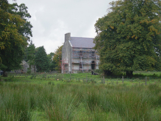 Holywell Housefarm house · 724 yd
 CastleCastle, unclassified · 3.2 mi
 Knock MuseumMuseum · 5.3 mi
 Knock ShrineHeritage attraction · 5.4 mi
 Ballybooley CastleCastle · 5.9 mi
 Oak WoodForest · 8.0 mi
 Geoffrey's WoodForest · 8.9 mi
 Mass RockNamed rock · 16 mi
 St. Patricks StoneRitual site, holy/saint's stone · 706 yd