What is recorded here
Six charcoal pits and a small burnt spread lay hidden beneath Rathcrogue until road builders broke the soil. The marks suggest people stacked wood, smothered it in ash, and waited for heat to turn living trees into black fuel. They may have worked there at dusk, listening for the crackle of changing air, before carrying the finished charcoal toward markets or forges.
Partially excavated in advance of construction of the N9/N10 Kilcullen-Waterford Road (Excavation Licence number E2593), six charcoal-production pits, a number of postholes and stake-holes and a burnt spread (L 0.65m; Wth 0.57m) were uncovered. (Hughs J. 2009, 49)
Reference:
Hughs J. (2009) 'Rathcrogue Charcoal-production pits and associated features' in I. Bennett (ed.), Excavations 2006: summary accounts of archaeological excavations in Ireland, 49 (203). Bray. Wordwell
Compiled by: Claire Breen
Date of upload: 10 November 2010
The monument record does not grant public access. Check the route and ask the landowner before entering private land.
- What survives
- Recorded monument
Places near here
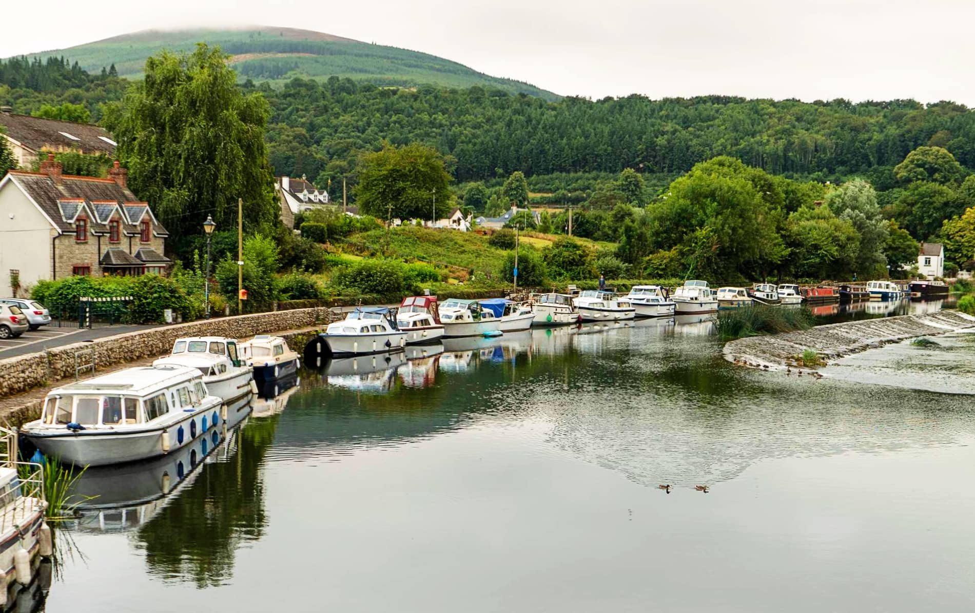 IndicatedEnclosure, large enclosure · 380 yd
 Site of CastleCastle, unclassified · 396 yd
 Rathcrogue Househouse · 779 yd
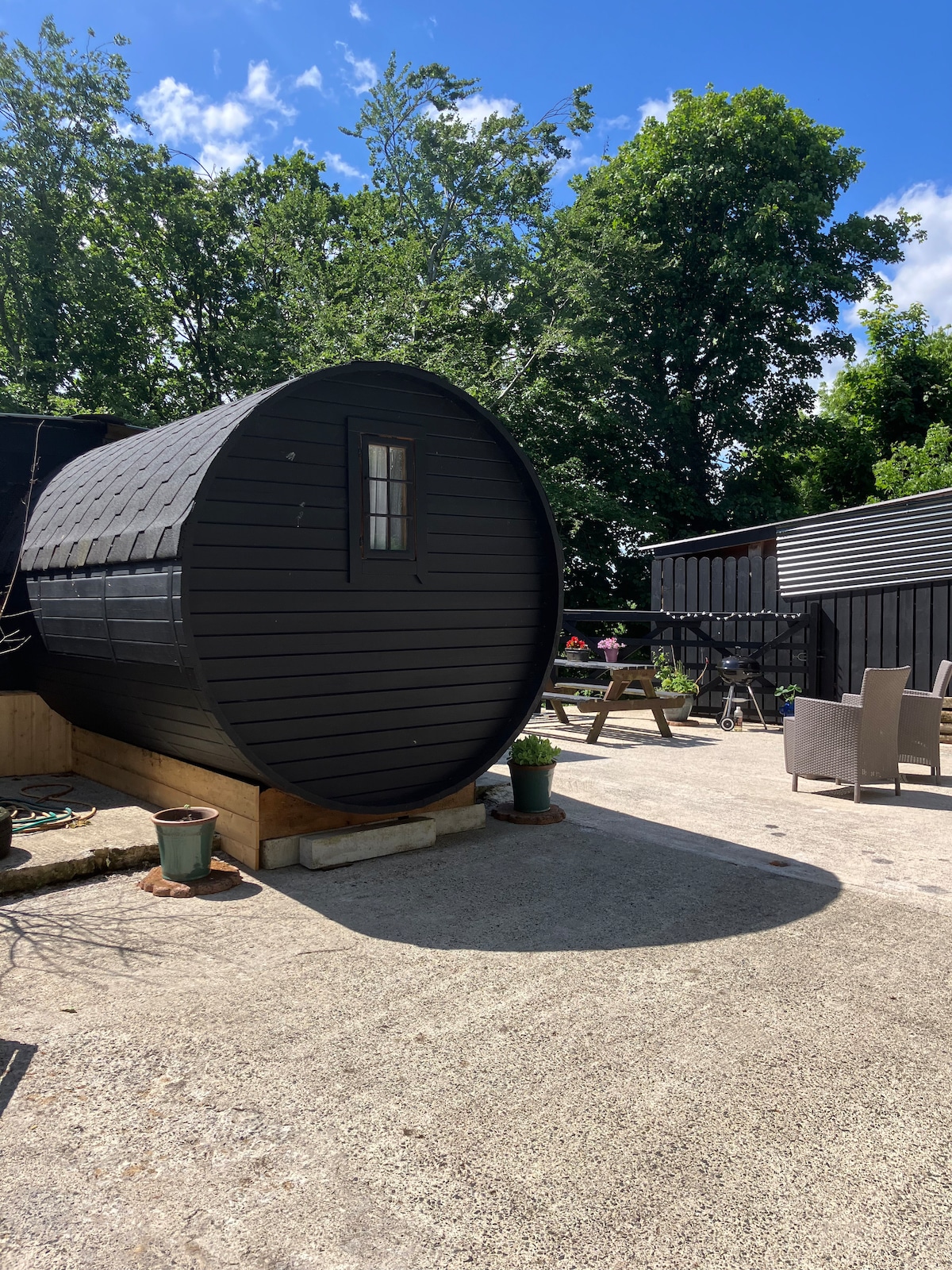 Enclosure in Moyle BigEnclosure · 972 yd
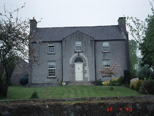 Green Househouse · 1160 yd
 Pedunculate OakPedunculate Oak · 1734 yd
 Graigue Castle in ruinsCastle, unclassified · 1.3 mi
 Brownshill Portal TombVisitor information · 2.4 mi
 Kilmurry Church (in ruins), GraveyardChurch · 2.5 mi
 Church (in ruins), GraveyardChurch · 3.1 mi
 White willowWhite willow · 3.4 mi
 Carlow County MuseumMuseum · 3.4 mi