What is recorded here
Indicated is a graveyard in County Louth, Ireland, where a present church occupies the west half of a rectangular area stretching roughly 68m east-west and 46m north-south. The place may have marked death, memory or belonging for the people who gathered there, while the church continued to witness ordinary life beside the buried dead.
Rectangular shaped area (map dims. c. 68m E-W; c. 46m N-S) with present church (LH021-003001-) in W half.
Compiled by: Claire Breen
Date of upload: 12 July 2012
The monument record does not grant public access. Check the route and ask the landowner before entering private land.
- What survives
- Recorded monument
Places near here
 Church (in Ruins)Church · 26 yd
 Tober MauraHoly well · 60 yd
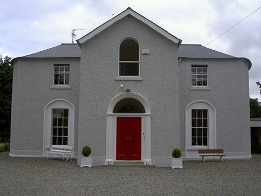 Mullary Househouse · 91 yd
 Enclosure in Priest TownEnclosure · 499 yd
 CastleCastle, unclassified · 1.4 mi
 MonasterboiceEarly monastic site · 1.8 mi
 Monasterboice Round TowerHeritage attraction · 1.8 mi
 BarabonaMountain / peak · 2.4 mi
 Rathescar Lakeside WalkWood · 2.4 mi
 Chapel (in Ruins), GraveyardChurch · 2.7 mi
 European BeechEuropean Beech · 2.9 mi
 BarmeathCastle, tower house · 3.0 mi