
What is recorded here
Castlelumney is a lost castle in County Louth, recorded as ruined on the Down Survey and still visible as a field name. That much is clear. The field may still hide its foundation stones, waiting for rain, plough or patience to bring them back into human sight.
A castle at Castlelumney (35) in Mullary parish is shown close to the boundary with Priestowne and Tynure on the Down Survey (1656-8) barony map, for which see this web-page accessed on 9 May 2016 http://downsurvey.tcd.ie/down-survey-maps.php#bm=Ferrard&c=Louth A castle in ruins at Castle Lumeny is shown on Taylor and Skinner's map of 1777 and 1778 on the W side of the road to Ardee (P. 3). The 'Castle Field' is known locally and an area of paving is said to have been unearthed during ploughing in it during the nineteenth century, but the precise location of the castle is not known.
Compiled by: Michael Moore
Date of revision: 9 May 2016
The monument record does not grant public access. Check the route and ask the landowner before entering private land.
- What survives
- Recorded monument
Places near here
 Holy well in TinureHoly well · 1223 yd
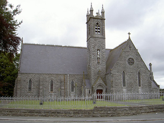 Catholic Church of Our Lady of the Immaculate Conceptionchurch/chapel · 1406 yd
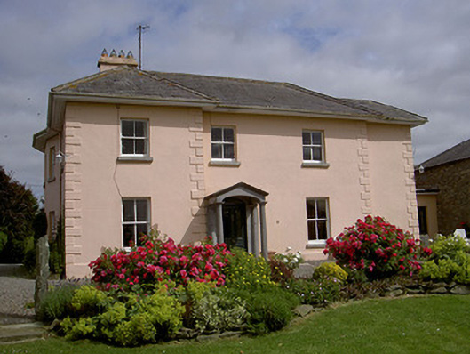 presbytery/parochial/curate's housepresbytery/parochial/curate's house · 1609 yd
 Calliagh Virra's HouseArchaeological place · 1.3 mi
 Rathescar Lakeside WalkWood · 1.5 mi
 Monasterboice Round TowerHeritage attraction · 1.7 mi
 Muiredach's High CrossHeritage attraction · 1.7 mi
 BarabonaMountain / peak · 1.8 mi
 Black HillMountain / peak · 2.1 mi
 IndicatedCastle, motte · 2.4 mi
 Drummond TowerCastle · 2.9 mi
 Pedunculate OakPedunculate Oak · 3.2 mi
Other information
Photo: Credit not shown in the picture search · Rights wording not checked; contact us if this picture should be removed