
What is recorded here
Circular raised area visible on aerial photograph (CUCAP, ALK 52).
Compiled by: Claire Breen
Date of upload: 12 July 2012
A local fairy fort (ringfort/rath); wider significance not recorded.
The monument record does not grant public access. Check the route and ask the landowner before entering private land.
- What survives
- Recorded monument
Places near here
 Church (in Ruins)Church · 517 yd
 Tober MauraHoly well · 535 yd
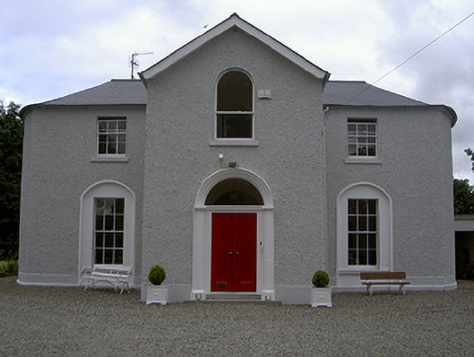 Mullary Househouse · 580 yd
 Enclosure in StonehouseEnclosure · 1169 yd
 CastleCastle, unclassified · 1.6 mi
 MonasterboiceEarly monastic site · 1.7 mi
 Muiredach's High CrossHeritage attraction · 1.7 mi
 BarabonaMountain / peak · 2.4 mi
 Chapel (in Ruins), GraveyardChurch · 2.6 mi
 Drummond TowerCastle · 3.3 mi
 Black HillMountain / peak · 3.4 mi
 Pedunculate OakPedunculate Oak · 4.1 mi
Other information
Photo: Credit not shown in the picture search · Rights wording not checked; contact us if this picture should be removed