What is recorded here
Taylor's Map of County Kildare (1783) places a castle in the south-central area of Wolfestown townland, yet no OS mapping records it and its precise location remains unknown. The site may still hide beneath soil, bramble or forgotten field boundary, waiting for someone to walk the right line at the right time.
Taylor's Map of County Kildare (1783) shows a castle in the south-central area of Wolfestown townland. The monument is not recorded on any edition of the OS mapping, and its precise location is unknown.
Compiled by: Gearóid Conroy
Date of upload: 23 July 2012
The monument record does not grant public access. Check the route and ask the landowner before entering private land.
- What survives
- Recorded monument
Places near here
 MoatEnclosure · 415 yd
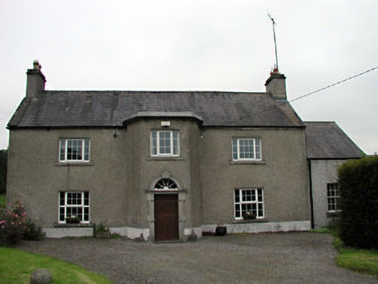 Lilac Hallfarm house · 1498 yd
 IndicatedEnclosure · 1683 yd
 Catholic Church of the Immaculate Conceptionchurch/chapel · 1725 yd
 CastleCastle, unclassified · 1.2 mi
 Rathmore MoatCastle, motte and bailey · 1.3 mi
 Deer Park PlantationForest · 1.5 mi
 Blessington DemesneWood · 1.7 mi
 The Square RenewalMemorial · 2.2 mi
 Dame Ninette de ValoisMemorial · 2.2 mi
 Cupidstown HillMountain / peak · 3.1 mi
 Saggart HillMountain / peak · 4.5 mi