What is recorded here
On the summit of a drumlin. Circular grass-covered domed area (diam. 22m; H 0.6m) separated by a fosse (Wth of base 3-3.5m; D 0.2-0.4m) from the remains of an earthen bank (Wth 3-3.5m; int. H 0.7m; ext. H 0.4-0.5m) that survives SSE-NE (max. ext. diam. c. 36m).
Compiled by: Michael Moore
Date of upload: 24 August 2010
Embanked enclosure; date uncertain but likely Bronze Age. Its significance lies in its rare preservation of a circular enclosure and associated defensive or ritual features, offering insight into early settlement or ceremonial practices in the region.
The monument record does not grant public access. Check the route and ask the landowner before entering private land.
- What survives
- Recorded monument
Places near here
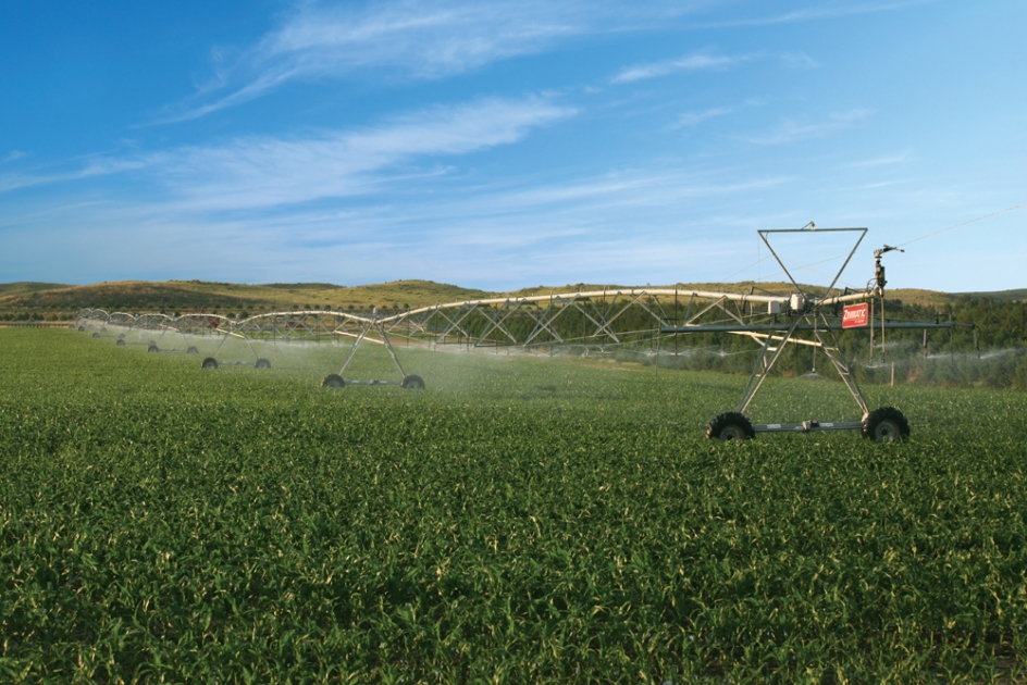 Field system in Ballytrasna,cashelfinoge OR LugnamuddaghField system · 302 yd
 IndicatedFairy fort / earthen ringfort · 506 yd
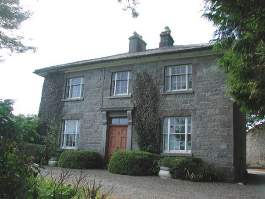 Ledford Parkhouse · 625 yd
 TemplenadrineyChurch · 1226 yd
 Boyle AbbeyHeritage attraction · 1572 yd
 King William MemorialMonument · 1674 yd
 Erris BayBay · 1.5 mi
 Bingham IslandIslet · 1.8 mi
 Lough Key Forest ParkWood · 1.8 mi
 Trinity IslandIslet · 2.0 mi
 Western RedcedarWestern Redcedar · 2.2 mi
 Horse-chestnutHorse-chestnut · 2.2 mi