What is recorded here
Situated on flat grassland with good views in all directions. Poorly preserved circular-shaped ringfort (approx. diam. 33m) bisected by a field boundary consisting of a stone wall running ESE-WNW which is clearly visible on Bing Maps aerial photograph taken November 2011. This monument was described in 1973 as following: 'This earthwork has been almost completely levelled. It is possible to trace the outline of the monument in the grass. This was a ringfort. The northern half is not quite as badly defaced as the southern part. The site is divided in two by a wall running east-west' (SMR File 30/03/1973). Depicted as a circular shaped earthwork bisected by a tree-lined field boundary on 1837 ed. OS 6-inch map.
Present remains consist of a slightly raised circular area (overall diam. c. 41m E-W; int. diam. 30m E-W) defined by an earthen bank which has been reduced to a scarp with stone wall (H 1.5m; wall T 0.8m) running across centre of monument. The N half of the ringfort has been degraded by agricultural practices and consists of a sunken or dished interior defined by a scarp in contrast to the S half of the monument which has a slightly raised interior defined by a low earthen bank (Wth 4m; ext. H 0.2-0.4m; int. H 0.1m). No entrance feature visible.
Compiled and updated by: Caimin O'Brien
Date of revised upload: 14 April 2015
The monument record does not grant public access. Check the route and ask the landowner before entering private land.
- What survives
- Recorded monument
Places near here
 TobernakillHoly well · 629 yd
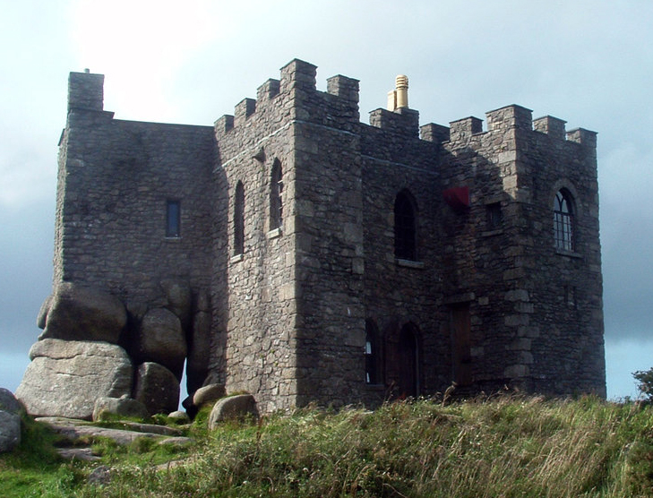 Carn CastleCastle, tower house · 721 yd
 farm housefarm house · 868 yd
 outbuildingoutbuilding · 877 yd
 Settlement cluster in CarnparkSettlement cluster · 905 yd
 Creeve CastleCastle, tower house · 1435 yd
 Dún na Sí Heritage CentreMuseum · 3.3 mi
 Dún na SíMuseum · 3.3 mi
 Charles BianconiMemorial · 4.0 mi
 Moate HillMountain / peak · 4.2 mi
 Temple's IslandIslet · 4.3 mi