
What is recorded here
The fairy fort or ringfort in Carn (rathconrath By.) is in County Westmeath, Ireland. The 1837 OS Fair Plan map depicts this site in undulating pasture as a small, roughly circular-shaped earthwork outlined by a scarp and annotated as a fort. A 1971 account described the levelled monument as having no surface remains visible.
Situated in undulating pasture. Annotated 'Fort' on the 1837 OS Fair Plan map where it is depicted as a small, roughly circular-shaped earthwork outlined by a scarp. Levelled monument described in 1971 as no surface remains visible.
Compiled by Alison McQueen, Vera Rahilly and Caimin O’Brien.
Date of upload: 27 August 2019
The monument record does not grant public access. Check the route and ask the landowner before entering private land.
- What survives
- Recorded monument
Places near here
 TobermogueHoly well · 756 yd
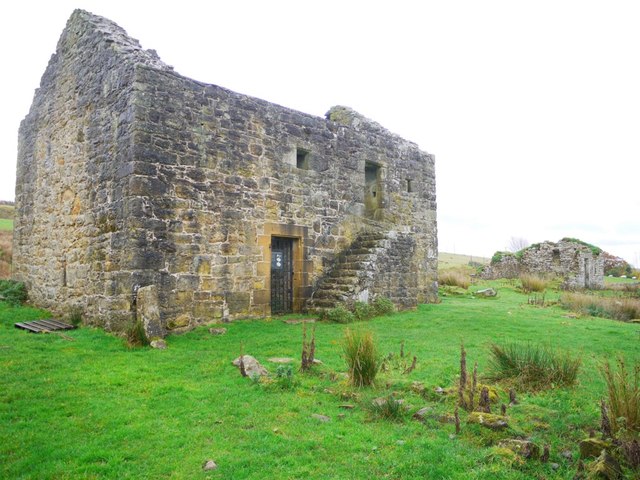 Enclosure in KillarechurchEnclosure · 783 yd
 Stremmingstown CastleCastle · 856 yd
 Lunestown Houseoutbuilding · 1298 yd
 Killare ChurchChurch · 1493 yd
 European ashEuropean ash · 1.0 mi
 Hill of UisneachMountain / peak · 1.1 mi
 Bawn in KillarecastleBawn · 1.1 mi
 Sam's ParkForest · 1.8 mi
 KnockastiaMountain / peak · 3.6 mi
 Craft WorkshopHeritage attraction · 8.2 mi
 Guest ServicesVisitor information · 8.2 mi
Other information
Photo: Credit not shown in the picture search · Rights wording not checked; contact us if this picture should be removed