What is recorded here
Castle Moyle is a lost castle in County Louth, Ireland, remembered through a tradition of the Hadsor family and the village name. No castle appears on the Down Survey or the Taylor and Skinner map, so its location has slipped from the land. The absence is not emptiness; it is a castle that stopped being visible to the people who stopped looking for it.
There is a tradition of a castle of the Hadsor family at Castle Moyle village (Stubbs 1909, 128, 130), and the OS letters also refer to a castle here (Anon. 1924, 282). A castle at Cappuck (24) in Cappod parish is not indicated on the Down Survey (1656-8) barony, for which see this web-page accessed on 9 May, 2016 http://downsurvey.tcd.ie/down-survey-maps.php#bm=Atherdee&c=Louth Nor is a castle marked on the Taylor and Skinner (1778) map (P 3). In any case its precise location is not known.
Compiled by: Michael Moore
Date of upload/revision: 9 May 2016
Built by the Hadsor family in the medieval period, Castle Moyle is remembered for its historical association with the local village and is noted in early 20th-century sources. Its importance lies in its connection to the traditional landscape and heritage of the area.
The monument record does not grant public access. Check the route and ask the landowner before entering private land.
- What survives
- Recorded monument
Places near here
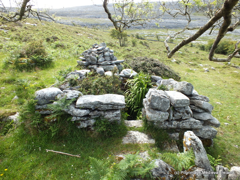 Holy well in CappogeHoly well · 114 yd
 Enclosure in MullincrossEnclosure · 603 yd
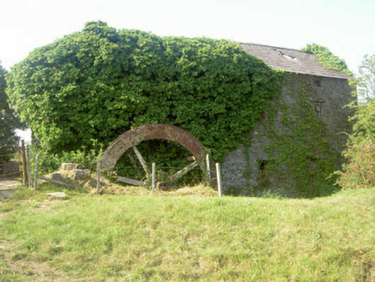 mill (water)mill (water) · 1465 yd
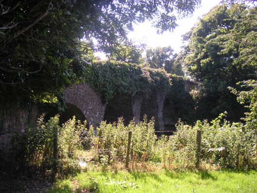 Drumcar Bridgebridge · 1554 yd
 CastleCastle, unclassified · 1.6 mi
 IndicatedCastle, motte · 1.7 mi
 Monterey CypressMonterey Cypress · 2.3 mi
 Graveyard in Richardstown (ardee By., Richardstown Par.)Graveyard · 2.3 mi
 Tullydonnell HillMountain / peak · 2.4 mi
 Rathescar Lakeside WalkWood · 2.7 mi
 Graveyard in DysartGraveyard · 3.3 mi
 Drummeenagh HillMountain / peak · 3.6 mi