What is recorded here
Cahirguillamore, 2021: A missing cairn in reclaimed pasture, 50m east of its recorded neighbour. The third stone heap vanished before mapping, leaving only a field drain and a 1976 description behind.
In reclaimed pasture, 8m S of field drain, 430m N of townland boundary with Cahirguillamore and 50m E of possible cairn (LI031-045----). Not marked on OSi historic maps. Possible low cairn described in 1976 by the National Museum of Ireland (NMI Topographical Files) described as; ‘another spread slightly raised above field level. Third one referred to but not located.’ The monument is not visible on OSi orthoimages or Google Earth orthophotos. Field has been reclaimed and the likelihood is that the low cairn has been removed.
See attached location map and photo taken in 1976 by NMI taken from Topographical Files.
Compiled by: Fiona Rooney
Date of upload: 22 March 2021
This remains an important historical record, but the official description says the monument is no longer visible or has been destroyed. The monument record does not grant public access. Check the route and ask the landowner before entering private land.
- What survives
- No visible remains or recorded as destroyed
Places near here
 CairnCairn, unclassified · 85 yd
 Enclosure in Ballycullane (smallcounty By.)Enclosure · 365 yd
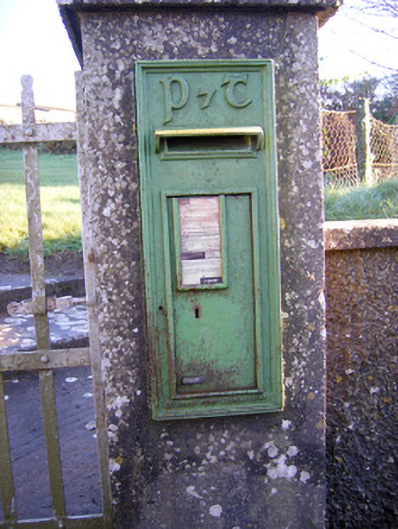 post boxpost box · 1548 yd
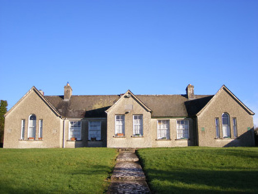 Grange National Schoolsschool · 1584 yd
 Bawn in Grange (smallcounty By.)Bawn · 1.2 mi
 Lough GurVisitor information · 1.4 mi
 CastleCastle, unclassified · 1.4 mi
 Grange Stone CircleArchaeological place · 1.4 mi
 Banoge's WellSpring · 1.8 mi
 The SpectaclesVisitor information · 2.0 mi
 Skool HillMountain / peak · 2.0 mi
 Pedunculate OakPedunculate Oak · 2.0 mi