What is recorded here
In improved pasture, on a S-facing slope. Remains of rectangular area (dims. 40m NW-SE; 36m NE-SW) defined by scarp (L 28m; Wth 1.3m; H 0.15m) to NW and scarp (Wth 1.5m; H 0.3m) at SE-end of NE-side (L 7m) and at SE (L 26m). Broad bank (L 27m; Wth c. 25m; int. H 0.2m; ext. H 0.55m) defines most of NE-side and may be a result of inner and outer bank being pushed together over fosse area. Scarp of annexe (TS061-059001-) abuts to SW-side (L 32m), but is poorly defined in places. Remains of fosse (overall Wth 10.7m; basal Wth 2.4m; D 0.8m) are traceable at NW-side. Fosse is backfilled by field boundary at SE and by trackway at SW. Traces of outer bank (overall Wth 16m;Wth at top 6m; int. H 0.8m; ext. H 0.2m) at NW. Interior is uneven, with a SE-facing slope and is poorly drained. Deciduous forestry c. 30m to NW. According to Cahill (1982, MS4), 'OS sheet shows stream diverted around site on W side.' A rectangular enclosure (TS061-059001-) abutts to the W and a ringfort (TS061-058----) is c. 60m to the WNW.
Compiled by: Jean Farrelly
Date of upload: 26 August 2011
The monument record does not grant public access. Check the route and ask the landowner before entering private land.
- What survives
- Recorded monument
Places near here
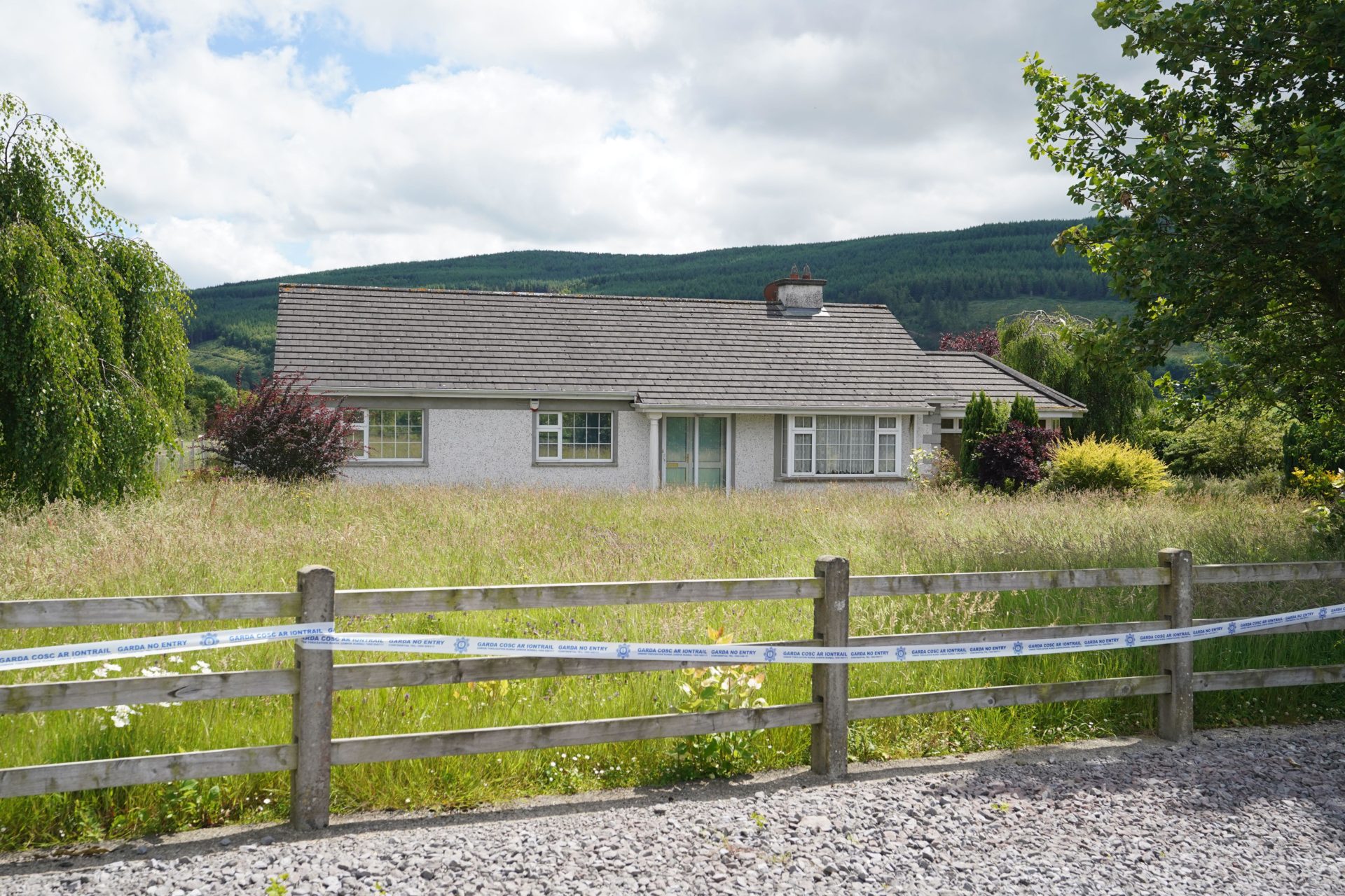 Enclosure in BallyherberryEnclosure · 451 yd
 The GarrisonCastle, tower house · 1069 yd
 Kill Church (in ruins)Church · 1301 yd
 Enclosure in CurraghtarsnaEnclosure · 1451 yd
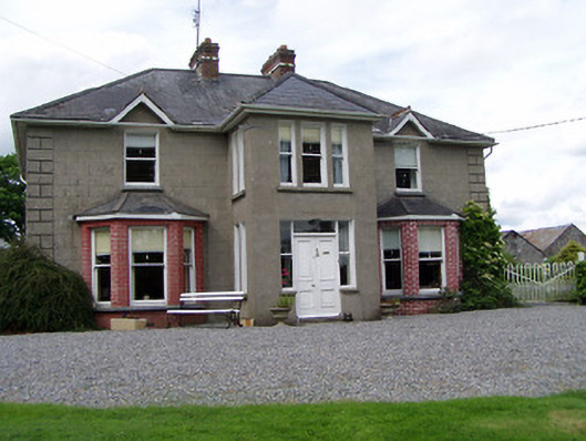 Rathmorehouse · 1724 yd
 Meldrum Castle (ruins)Castle · 1.2 mi
 Taylor's WoodWood · 2.2 mi
 Ballyknock HillMountain / peak · 3.1 mi
 Cashel Folk MusuemMuseum · 3.9 mi
 The Rock Of CashelVisitor information · 4.0 mi
 Black mulberryBlack mulberry · 4.0 mi
 Cormac's ChapelHeritage attraction · 4.0 mi