What is recorded here
Excavated in advance of construction of the N9/N10 Kilcullen-Waterford Road (Excavation Licence number E2581; area 5 in final report). One of two intercutting ring-ditches (max. diam. 6.7m). The ditch (max. Wth 0.5m; D 0.47m) cut that of second ring-ditch (see CW007-123----). Both ring ditches were truncated by linear features. Burnt bone discovered in the fill produced Iron Age dates for both. Two pits in centre of ring-ditches. (O' Neill N. 2009, 22-3, 40-2)
Reference:
O' Neill N. 2009 N9/N10 Kilcullen to Waterford Scheme: Kilcullen to Powerstown. Archaeological Services Contract No. 4 - Resolution, Prumpelstown to Powerstown. Final Report on archaeological investigations at site E2581, in the townland of Busherstown, Co. Carlow. Unpublished report, Headland Archaeology (Ireland) Ltd., Cork
Compiled by: Claire Breen
Date of upload: 10 November 2010
The monument record does not grant public access. Check the route and ask the landowner before entering private land.
- What survives
- Recorded monument
Places near here
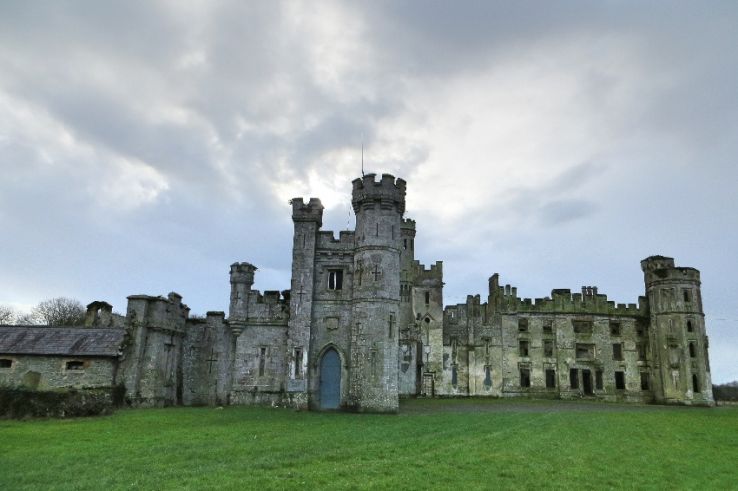 Enclosure in BusherstownEnclosure · 129 yd
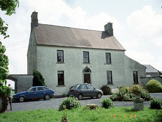 Busherstown Housefarm house · 187 yd
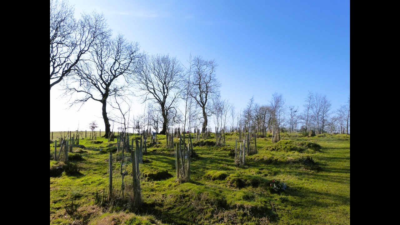 Burial GroundChurch · 243 yd
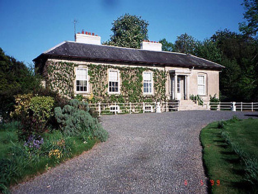 Bennekerry Lodgehouse · 997 yd
 Graigue Castle in ruinsCastle, unclassified · 1212 yd
 Site of CastleCastle, unclassified · 1392 yd
 Brownshill Portal TombVisitor information · 1.4 mi
 Cork oakCork oak · 2.5 mi
 European YewEuropean Yew · 2.5 mi
 Carlow County MuseumMuseum · 3.4 mi
 Kilmurry Church (in ruins), GraveyardChurch · 3.5 mi
 Church (in ruins), GraveyardChurch · 4.5 mi