What is recorded here
Half a circle of earth and rock still stands beside the new road in Busherstown, its curved ditch cut shallow into live stone. The missing half vanished under wheels and tarmac, but the surviving bank and ditch preserve the shape of a place people once walked around. Pottery from the 18th and 19th centuries lay at the bottom, suggesting the enclosure belonged to the life of Busherstown church and graveyard rather than to forgotten legend.
Partially excavated in advance of construction of the N9/N10 Kilcullen-Waterford Road (Excavation Licence number E2581; area 1 in final report). A curvilinear ditch (Wth 3.25m; D 0.85m) with gently sloping sides and a relatively flat base cut into bedrock. Bank (H 1-2m) immediately to E. Only a small portion within the line of the road take. A number of pieces of 18th/19th century pottery were discovered in the basal fill. Most likely associated with Busherstown church and graveyard (CW008-017001- and CW008-017002-). (O' Neill N. 2009, 13; 45)
Reference:
O' Neill N. 2009 N9/N10 Kilcullen to Waterford Scheme: Kilcullen to Powerstown. Archaeological Services Contract No. 4 - Resolution, Prumpelstown to Powerstown. Final Report on archaeological investigations at site E2581, in the townland of Busherstown, Co. Carlow. Unpublished report, Headland Archaeology (Ireland) Ltd., Cork
Compiled by: Claire Breen
Date of upload: 10 November 2010
The monument record does not grant public access. Check the route and ask the landowner before entering private land.
- What survives
- Recorded monument
Places near here
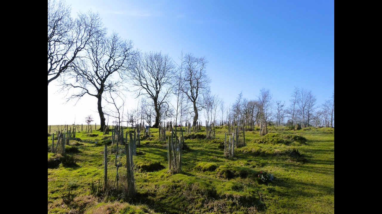
 Enclosure in BusherstownEnclosure · 97 yd
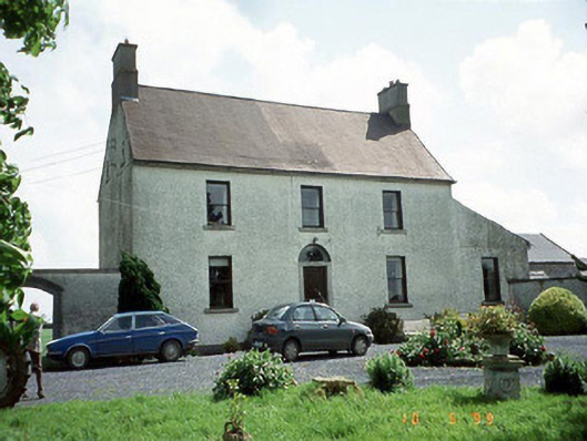 Busherstown Housefarm house · 192 yd
 Burial GroundChurch · 217 yd
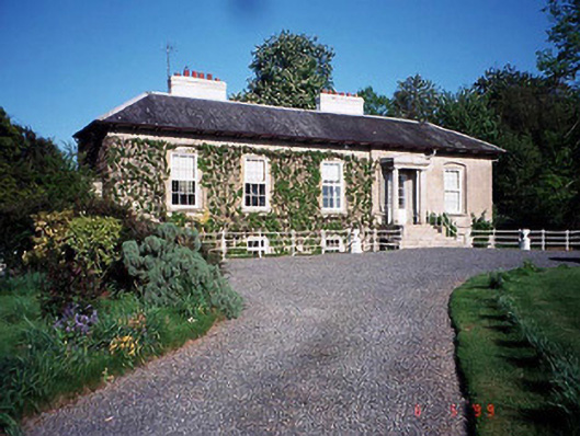 Bennekerry Lodgehouse · 1091 yd
 Graigue Castle in ruinsCastle, unclassified · 1246 yd
 Site of CastleCastle, unclassified · 1414 yd
 Brownshill Portal TombVisitor information · 1.4 mi
 Cork oakCork oak · 2.4 mi
 European YewEuropean Yew · 2.5 mi
 Carlow County MuseumMuseum · 3.4 mi
 Kilmurry Church (in ruins), GraveyardChurch · 3.5 mi
 Church (in ruins), GraveyardChurch · 4.6 mi