What is recorded here
Situated on a fairly level landscape. Archaeological monitoring (03E1761) over a wide area W and N of Lough Errew identified numerous archaeological features that could be preserved in situ, including this spread of burn mound material. It consists of a small spread of heat-shattered stone and charcoal enriched soil (dims 5m N-S; 3m E-W). (Read 2004, 14, No. 33)
Compiled by: Michael Moore
Date of upload; 8 January 2020
Burnt mound in Rinn is a Neolithic ritual or industrial site, dating to approximately 4000–2500 BCE. Its significance lies in providing evidence of early land use and possible ceremonial activities in the region.
The monument record does not grant public access. Check the route and ask the landowner before entering private land.
- What survives
- Recorded monument
Places near here
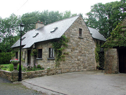 Lough Rynn Houseworker's house · 467 yd
 Little IslandIslet · 553 yd
 Duck IslandIslet · 646 yd
 Giant's GraveArchaeological place · 829 yd
 IndicatedFairy fort / earthen ringfort · 874 yd
 Lawson's CypressLawson's Cypress · 1231 yd
 Holy WellHoly well · 1236 yd
 TuliptreeTuliptree · 1258 yd
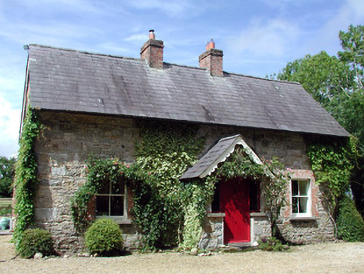 Errew Cottageworker's house · 1651 yd
 CastleCastle, tower house · 1698 yd
 Turlough O'Carolan MonumentHeritage attraction · 1.7 mi
 OratoryCastle, tower house · 2.2 mi