What is recorded here
On a S-facing slope in undulating terrain, under pasture. Possible barrow (TS062-002----) is located 4m to SW. Low, roughly circular mound (diams. 14.3m NE-SW; 12m NW-SE; H 0.2-0.64m). Ground to S-SW-W is quite waterlogged.
Compiled by: Jean Farrelly
Date of upload: 26 August 2011
Burnt mound in Foulkstown is a Bronze Age ritual or industrial site, characterized by a low, circular mound containing heat-shattered stones. Its significance lies in providing evidence of prehistoric activity, possibly related to feasting, metallurgy, or ceremonial practices.
The monument record does not grant public access. Check the route and ask the landowner before entering private land.
- What survives
- Recorded monument
Places near here
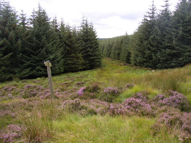 RoadRoad, road/trackway · 530 yd
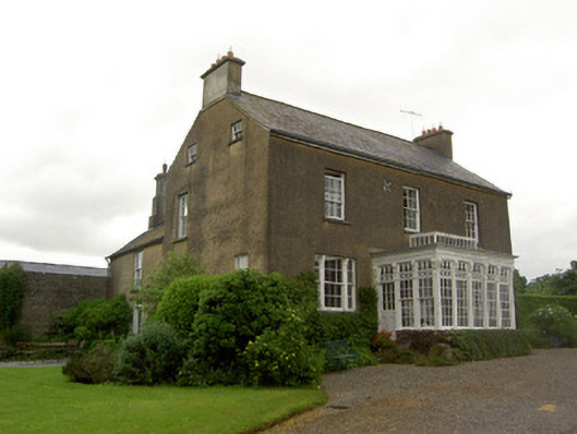 Beechmount Househouse · 581 yd
 MonumentArchaeological place · 712 yd
 Enclosure in SilverfortEnclosure · 1023 yd
 CastleCastle, ringwork · 1.0 mi
 Noan WoodWood · 1.8 mi
 Site of CastleCastle, unclassified · 1.9 mi
 Taylor's WoodWood · 1.9 mi
 Ballinure HillMountain / peak · 2.4 mi
 Kilknockan HillMountain / peak · 4.3 mi
 Gobban Saer's GraveArchaeological place · 4.5 mi
 East GateMemorial · 5.2 mi