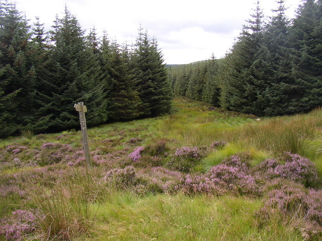
What is recorded here
On a S-facing slope in undulating pasture. Trackway (Wth 3-3.4m) clearly visible on aerial photograph taken in 1974 (GSI S.597/8, 16-4-1974). It runs for c. 350m NNE-SSW, running along E side of a ringfort (TS062-003001-), with an apparent link to the ringfort entrance. It is defined by two linear banks (Wth 4.8m; ext. H 0.56m; int. H 0.12m and Wth 3.9m; int. H 0.49m; ext. H 0.24m). The E side of a sub-rectangular feature identified on the aerial phograph is a continuation of the trackway. The N side of the feature, running E-W, may also be part of the trackway which has been dug into the natural slope. The section of trackway which ran N of the ringfort has been removed and is not visible at ground level, as has the field boundary which ran along the W bank for some of its length.
Compiled by: Jean Farrelly
Date of upload: 26 August 2011
This remains an important historical record, but the official description says the monument is no longer visible or has been destroyed. The monument record does not grant public access. Check the route and ask the landowner before entering private land.
- What survives
- No visible remains or recorded as destroyed
Places near here
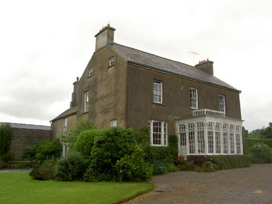 Beechmount Househouse · 1062 yd
 Arbourhill Ho.House, 17th century · 1172 yd
 MonumentArchaeological place · 1241 yd
 Enclosure in SilverfortEnclosure · 1448 yd
 Noan WoodWood · 1.6 mi
 Site of CastleCastle, unclassified · 1.7 mi
 Taylor's WoodWood · 1.7 mi
 CastleCastle, tower house · 1.8 mi
 Ballinure HillMountain / peak · 2.2 mi
 Gobban Saer's GraveArchaeological place · 4.2 mi
 Kilknockan HillMountain / peak · 4.5 mi
 East GateMemorial · 5.4 mi
Other information
Photo: Credit not shown in the picture search · Rights wording not checked; contact us if this picture should be removed