What is recorded here
Located in a N-S valley, with a N-S stream c. 30m to the E. Archaeological monitoring and testing (06E0163) in advance of laying a water-pipe identified a burnt mound (Moloney 2006), which was later excavated (06E0397). A spread of burnt mound material (diam. 7m; T 6cm) was cut by field drains. (Janes, 2009)
Compiled by: Michael Moore.
Date of upload/revision: 24th December 2010.
Burnt mound in Ballyshonock is a Bronze Age ritual or industrial site, characterized by a heap of heat-shattered stones. Its significance lies in providing evidence of prehistoric water-related activities, possibly for cooking, metalworking, or ceremonial purposes.
The monument record does not grant public access. Check the route and ask the landowner before entering private land.
- What survives
- Recorded monument
Places near here
 Historic buildingOfficially recorded historic building · 727 yd
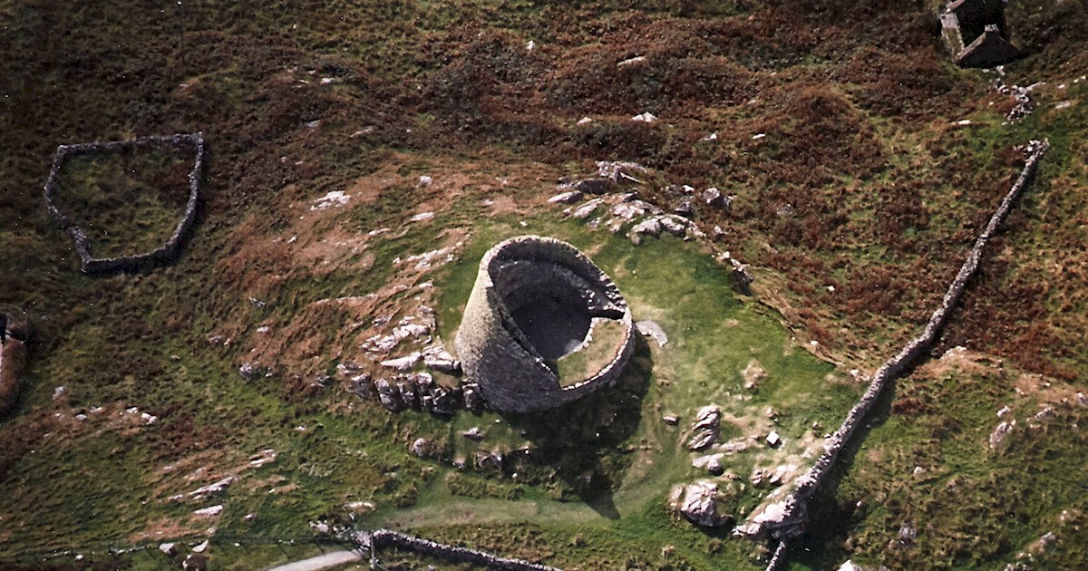 Burnt mound in Ballyshonock,hacketstown (decies Within Drum By.),ross (decies Without Drum By.)Burnt mound · 920 yd
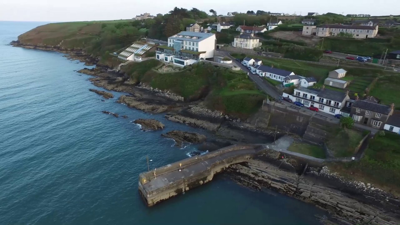 Embanked enclosureFairy fort / ringfort · 980 yd
 Site of CastleCastle, unclassified · 1588 yd
 farmyard complexfarmyard complex · 1.0 mi
 Glenhouse WoodForest · 2.6 mi
 Donnell's HillMountain / peak · 2.7 mi
 Waterford & Suir Valley RailwayHeritage attraction · 3.8 mi
 Site of Cas.Castle, unclassified · 4.1 mi
 8 Arch GalleryGallery · 4.2 mi
 St. Martin's WellSpring · 4.3 mi
 St. Bernard's WellSpring · 4.6 mi