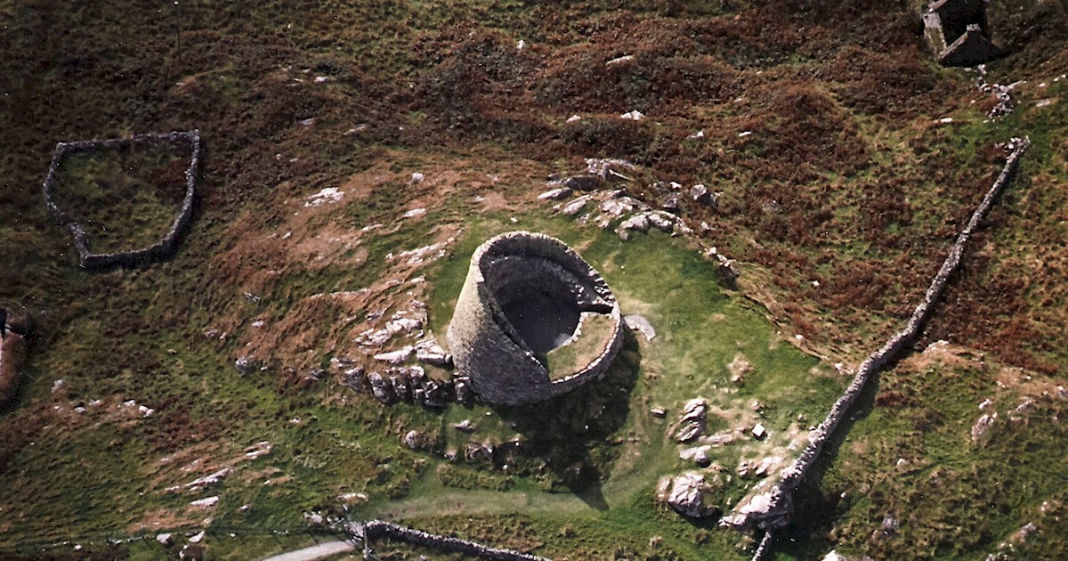
What is recorded here
Situated in the valley of a N-S stream. Seven fulachta fiadh are listed (NMI file). The valley is now flooded by Ballyshonock Reservoir.
The above description is derived from the published 'Archaeological Inventory of County Waterford' (Dublin: Stationery Office, 1999). In certain instances the entries have been revised and updated in the light of recent research.
Date of upload/revision: 23 December 2008
Burnt mound (fulacht fiadh), likely dating to the Early to Middle Bronze Age. These sites were used for cooking or processing activities and are significant for understanding prehistoric domestic and subsistence practices in Ireland.
The monument record does not grant public access. Check the route and ask the landowner before entering private land.
- What survives
- Recorded monument
Places near here
 farmyard complexfarmyard complex · 866 yd
 Historic buildingOfficially recorded historic building · 1472 yd
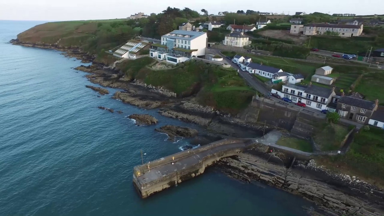 Embanked enclosureFairy fort / ringfort · 1725 yd
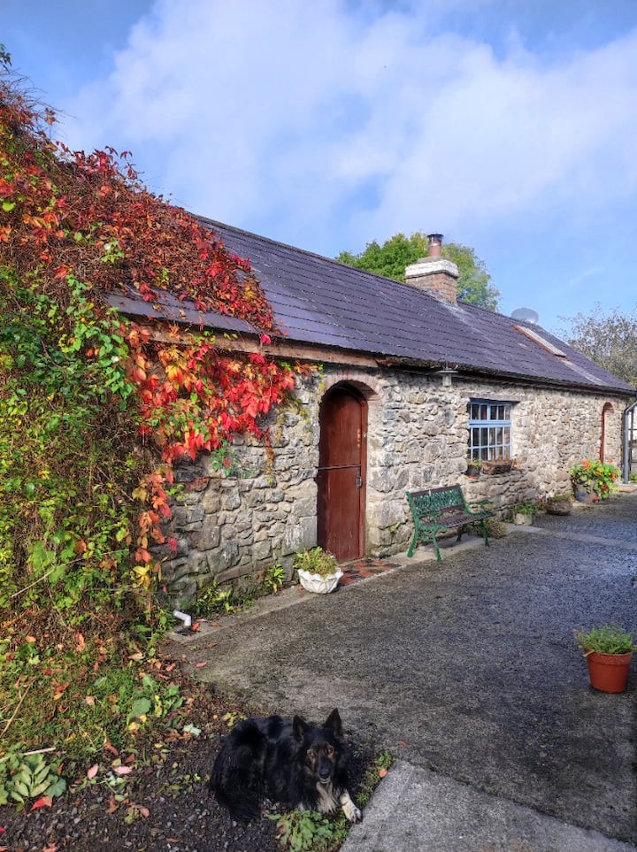 Enclosure in KilmoveeEnclosure · 1.1 mi
 Site of CastleCastle, unclassified · 1.2 mi
 Glenhouse WoodForest · 2.1 mi
 Donnell's HillMountain / peak · 2.2 mi
 Waterford & Suir Valley RailwayHeritage attraction · 3.6 mi
 Site of Cas.Castle, unclassified · 4.4 mi
 Sargent's magnoliaSargent's magnolia · 4.4 mi
 8 Arch GalleryGallery · 4.4 mi
 St. Martin's WellSpring · 4.7 mi
Other information
Photo: Credit not shown in the picture search · Rights wording not checked; contact us if this picture should be removed