What is recorded here
Situated on a hillock known as ‘Madden’s Hill which is part of an E-W esker. No feature is depicted on any OS map but in 1966 human remains and a furnace bottom came to light in a quarry, and excavation identified the remains of a rath (ME037-025----) with a Man-made underground passage (ME037-025001-). Outside the fosse at SE evidence of at least four extended inhumations came to light. The remains were incomplete and the orientations varied, but some of the burials were cut by the fosse of the rath. These were outliers from a larger group of burials inserted into a natural rise c. 30m E of the rath. These burials were also incomplete through ploughing and their orientation varied but adults and juveniles were represented. At the top of the rise but set in the ground stones formed three sides of a structure (dims 1.5m x 1.3m; H 0.3-0.5m) open to the S of unknown function or relationship to the burials. The ridge has since been removed. (Rynne 1974, 270-5)
The above description is derived from the published 'Archaeological Inventory of County Meath' (Dublin: Stationery Office, 1987). In certain instances the entries have been revised and updated in the light of recent research.
Compiled by: Michael Moore
Date of revision: 21 August 2019
A Neolithic burial ground, likely associated with a passage tomb tradition; its significance lies in the recovery of human remains and a furnace, indicating early ceremonial or funerary practices.
The monument record does not grant public access. Check the route and ask the landowner before entering private land.
- What survives
- Recorded monument
Places near here
 Railway Woods (North)Forest · 1440 yd
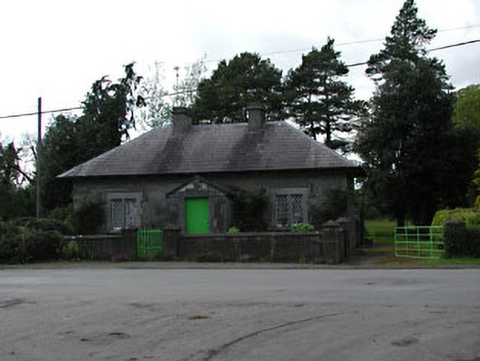 worker's houseworker's house · 1446 yd
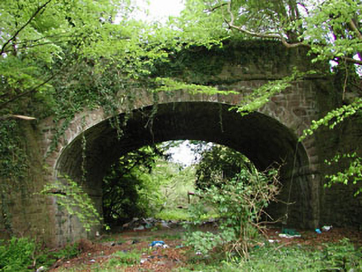 bridgebridge · 1594 yd
 Duck Pond WoodWood · 1.1 mi
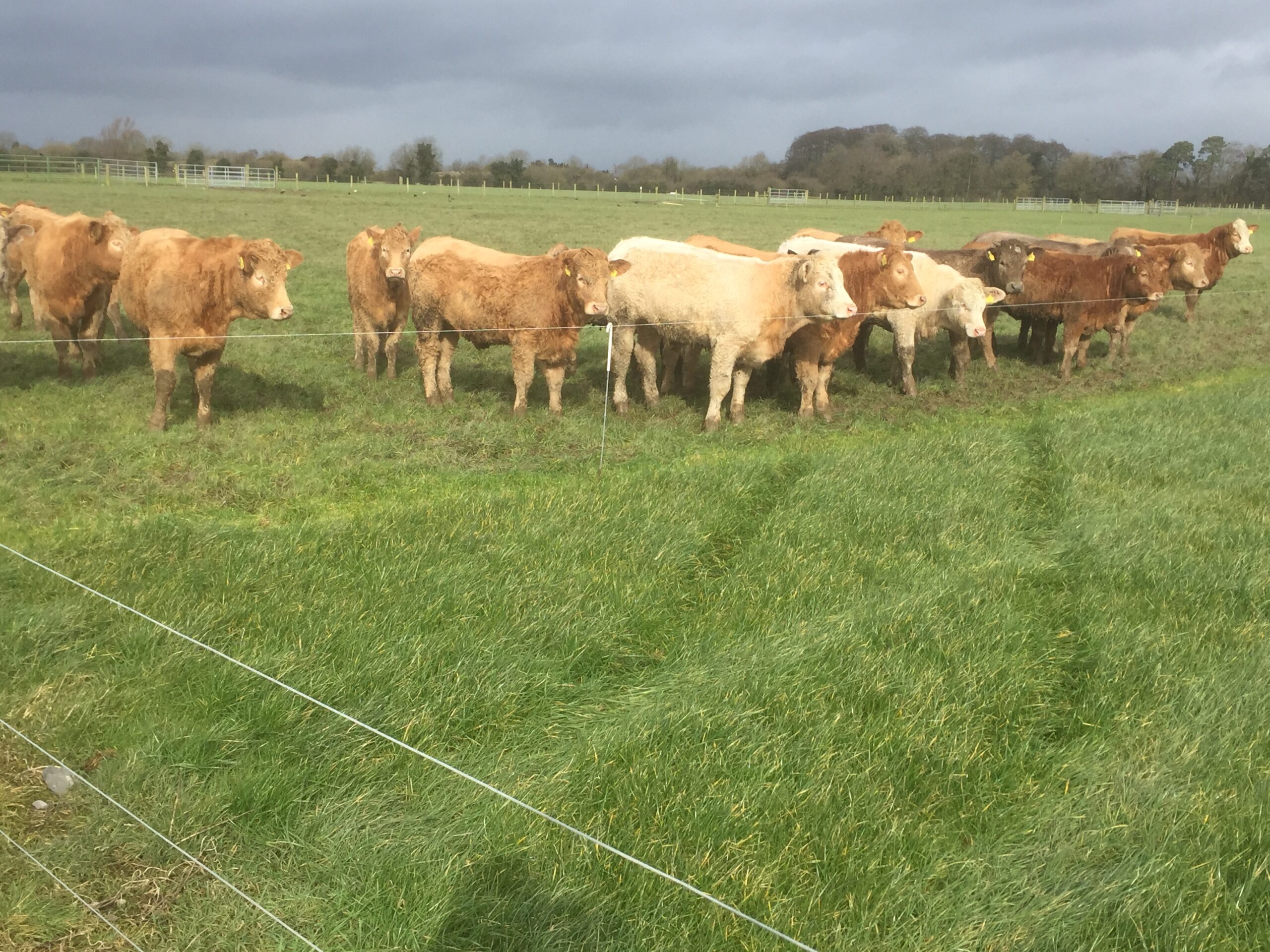 Derrypatrick RathEnclosure · 1.2 mi
 Enclosure in Athronan (deece Lower By.)Enclosure · 1.3 mi
 IndicatedBawn · 1.9 mi
 Galtrim MoatCastle, motte · 2.3 mi
 Battle of Tara (Ireland)Major battlefield · 3.8 mi
 Battle of Tara Hillbattle · 3.8 mi
 Saint Patrick'sMemorial · 4.0 mi
 Tara Open StudioGallery · 4.0 mi