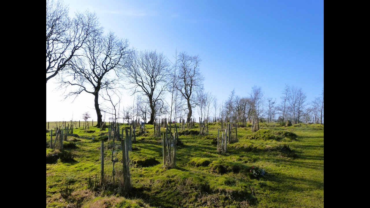
What is recorded here
An artificial rise marks the centre of the Burial Ground in County Carlow, Ireland, and a straight-sided structure may still lie beneath it. Headstones crowd the edge, one dating from the eighteenth century, while a bullaun stone waits a short distance to the southeast. The place keeps its dead close, shaping memory into soil rather than forgetting them.
The following description is derived from the published 'Archaeological Inventory of County Carlow' (Dublin: Stationery Office, 1993). In certain instances the entries have been revised and updated in the light of recent research.
Date of revision: 16 December 2009
Revised by: J. Farrelly
Artificial rise towards centre of graveyard, which appears to include structure indicated at S and E by straight sides (L c. 15m; W c. 6m; H of rise 1m). Large number of headstones, including one of eighteenth-century date. Bullaun stone (CW008-017002-) lies short distance SE of graveyard (CW008-017003-).
The monument record does not grant public access. Check the route and ask the landowner before entering private land.
- What survives
- Recorded monument
Places near here
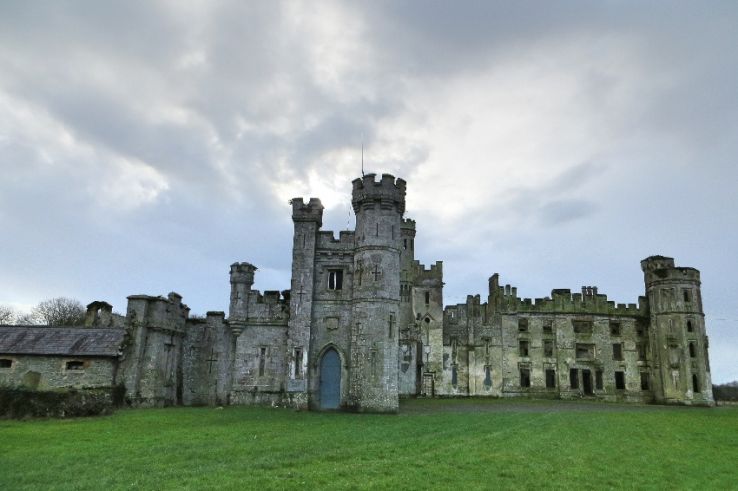 Enclosure in BusherstownEnclosure · 125 yd
 Ecclesiastical enclosure in BusherstownEcclesiastical enclosure · 341 yd
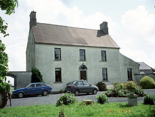 Busherstown Housefarm house · 402 yd
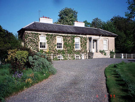 Bennekerry Lodgehouse · 1214 yd
 Graigue Castle in ruinsCastle, unclassified · 1451 yd
 Site of CastleCastle, unclassified · 1625 yd
 Brownshill Portal TombVisitor information · 1.5 mi
 Cork oakCork oak · 2.4 mi
 European YewEuropean Yew · 2.4 mi
 Kilmurry Church (in ruins), GraveyardChurch · 3.5 mi
 Carlow County MuseumMuseum · 3.5 mi
 Church (in ruins), GraveyardChurch · 4.6 mi
Other information
Photo: Credit not shown in the picture search · Rights wording not checked; contact us if this picture should be removed