What is recorded here
Situated on a slight rise, in undulating pasture, with good views to NW, N and SE. Monument described in 1971 and 1976 as a subcircular-shaped area (dims. 41.3m NE-SW; 35.3m NW-SE) enclosed by an earth and stone bank with external fosse best preserved at S and almost completely infilled elsewhere. The original entrance is not recognisable. The interior rises slightly from the perimeter towards the centre. The monument has been quarried in places on the exterior from ENE-SE. A modern field boundary encloses the monument from S-W-N-NE.
Compiled by Alison McQueen, Vera Rahilly and Caimin O’Brien.
Date of upload: 29 July 2019
The monument record does not grant public access. Check the route and ask the landowner before entering private land.
- What survives
- Recorded monument
Places near here
 Killininneen Househouse · 492 yd
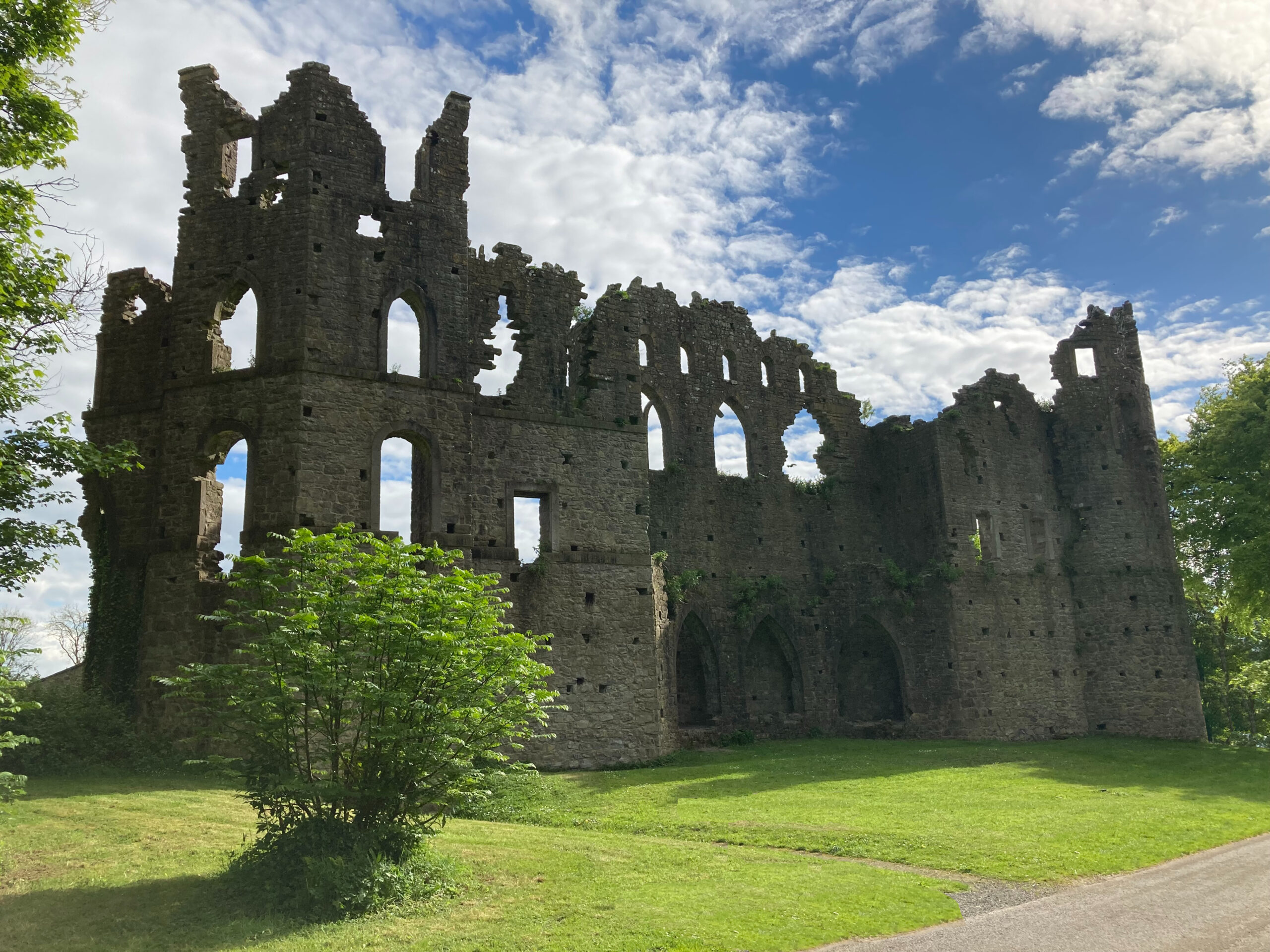 Sterns Folly, The BreenCastle, ringwork · 781 yd
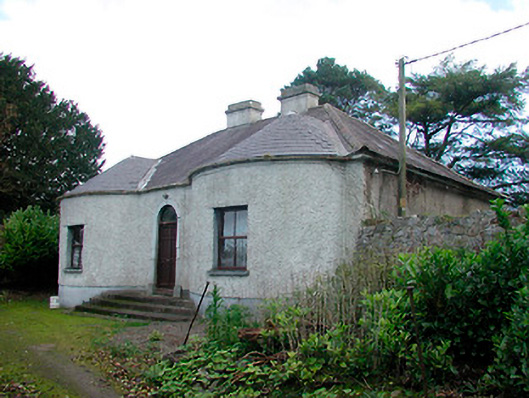 Walderstown Lodgehouse · 1536 yd
 OutlinedEnclosure · 1560 yd
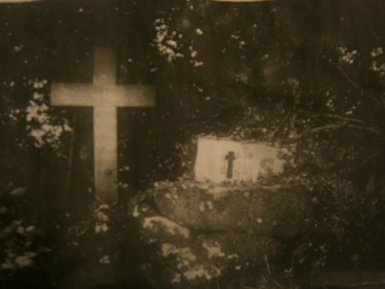 Mass-rock in KillininneenMass-rock · 1719 yd
 Site of Lissanode CastleCastle, unclassified · 1.1 mi
 Noughaval CemeteryArchaeological place · 4.2 mi
 Dún na Sí Heritage CentreMuseum · 4.4 mi
 Dún na SíMuseum · 4.4 mi
 Charles BianconiMemorial · 5.0 mi
 Moate HillMountain / peak · 5.2 mi