
What is recorded here
Lissanode Castle was a tower house on the boundary with Ballycloghduff, lost to pasture before modern memory. In January 1600, O'Neill took it, installed his own wards, and drove Sir Theobald Dillon, his lady and children toward Athlone. The castle vanished from the land but never stopped moving through it: every cartwheel, plough line and child's footpath still passes the place where a family lost its roof in a single night.
Situated in open, flat, pasture. Levelled monument described in 1983 as no surface remains visible of Lissanode Castle. The Down Survey parish map of Drumraney depicts a tower house type castle in Lissanode standing close to the townland boundary with Ballycloghduff (NLI, MS 723-4). On this map the castle is depicted standing on lands belonging in 1640 to the Dillon family (ibid.). On 26th of January 1600 Captain Edmund Lyster wrote a letter to Christopher Nugent, Baron of Delvin in which he stated that 'O'Neill is burning of Magherocork all this day, and too[has] burned Sir Theobald's [Dillon] own town, and for the most part took all the preys of the country. he also took the castle[s] of Lysnoyd [Lissanode] and Bellanegloghduff [WM030-130----), and in those castle put in his own wards. Sir Theobald himself, his lady, and children, are gone to Athlone yesternight' (Cal. S.P. Ire, 432). Site of Lissanode Castle depicted standing on townland boundary 200m S of 18th century Lissanode House (NIAH Reg. No. 15402309; www.buildingsofireland.ie) on the 1838 ed. OS 6-inch map. A second note pencilled onto the OS map places the monument closer to Lissanode House, at the SW corner of the grounds. There are no upstanding remains of a castle at either of these locations.
Compiled by Alison McQueen, Vera Rahilly and Caimin O’Brien.
Date of upload: 29 July 2019
Lissanode Castle was a tower house likely built in the 16th century by a local Gaelic lord or Anglo-Norman family. It is remembered for its historical presence in the Down Survey of 1654, which marks it as part of the medieval defensive and territorial landscape of Ireland.
The monument record does not grant public access. Check the route and ask the landowner before entering private land.
- What survives
- Recorded monument
Places near here
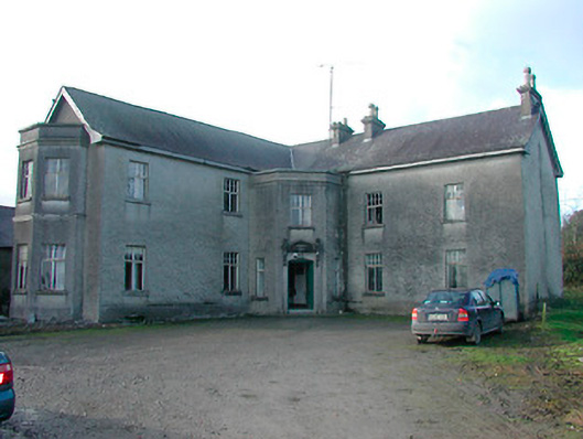 Lissanode Househouse · 250 yd
 Partially hachuredFairy fort / ringfort · 643 yd
 bridgebridge · 1402 yd
 OutlinedEnclosure · 1.1 mi
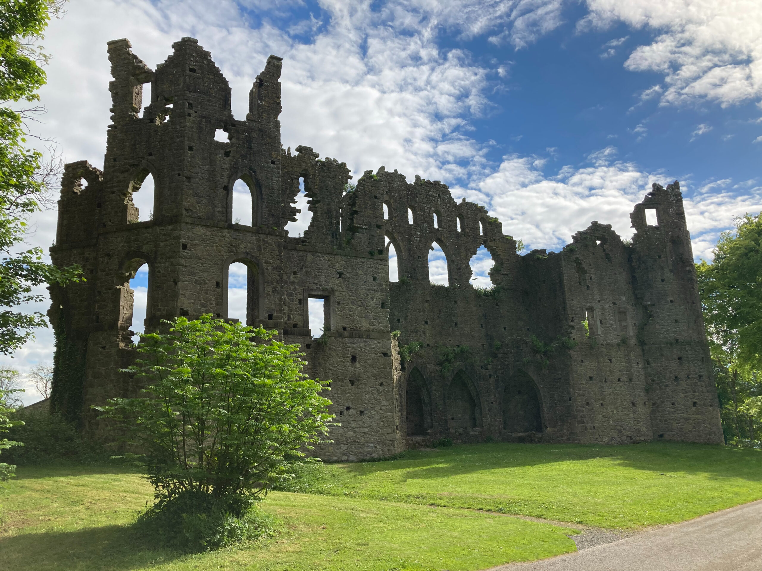 Sterns Folly, The BreenCastle, ringwork · 1.3 mi
 IndicatedCastle, unclassified · 2.0 mi
 Dún na Sí Heritage CentreMuseum · 3.8 mi
 Dún na SíMuseum · 3.8 mi
 Japanese pagoda treeJapanese pagoda tree · 4.2 mi
 Charles BianconiMemorial · 4.3 mi
 Moate HillMountain / peak · 4.5 mi
 Noughaval CemeteryArchaeological place · 4.9 mi
Other information
Photo: Credit not shown in the picture search · Rights wording not checked; contact us if this picture should be removed