What is recorded here
Cropmark of enclosure (approx. diam. 15m) visible on Google earth aerial imagery.
See attached image taken from Google Earth aerial photographs taken 28/06/2018.
Compiled by: Caimin O'Brien based on details kindly provided by Faith Bailey.
Date of upload: 16 November 2018
The monument record does not grant public access. Check the route and ask the landowner before entering private land.
- What survives
- Recorded monument
Places near here
 Enclosure in Killashee (killashee Ed)Enclosure · 964 yd
 Enclosure in Cradockstown WestEnclosure · 996 yd
 Site of CastleCastle, unclassified · 1338 yd
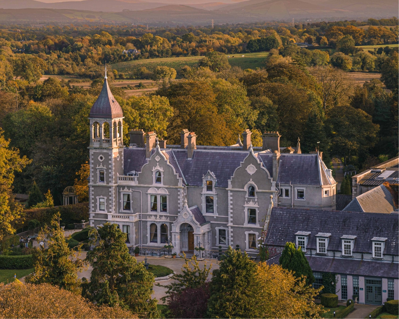 Church in Killashee (killashee Ed)Church · 1400 yd
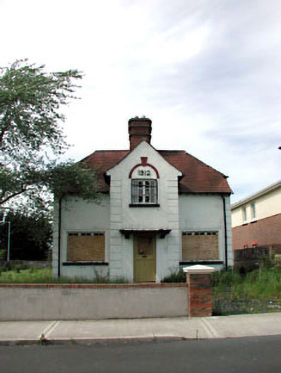 Ballycane Househouse · 1.1 mi
 South Moat, Ordnance Ground, Fair GreenCastle, motte · 1.4 mi
 Poplar SquarePicnic place · 1.8 mi
 Sillagh Bog WoodForest · 2.4 mi
 Monread District Park WoodsWood · 2.5 mi
 Councillor Jim MileyMemorial · 5.2 mi
 Proclamation of the Irish RepublicMemorial · 5.2 mi
 Museum of MotorsportMuseum · 5.7 mi