
What is recorded here
Cropmark of circular-shaped bivallate enclosure (approx. diam. 40m) with annexe at W visible on Google earth aerial imagery. Visible as a circular-shaped depression on Digital Globe aerial coverage. Traces of a possible field system radiating out from annexe also visible on Google earth aerial imagery.
See attached image taken from Google Earth aerial photographs taken 28/06/2018.
Compiled by: Caimin O'Brien based on details kindly provided by Faith Bailey.
Date of upload: 13 November 2018
The monument record does not grant public access. Check the route and ask the landowner before entering private land.
- What survives
- Recorded monument
Places near here
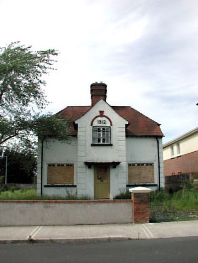 Ballycane Househouse · 1224 yd
 Naas General Hospitalworkhouse · 1.0 mi
 Punchestown LongstoneArchaeological place · 1.0 mi
 Enclosure in Killashee (killashee Ed)Enclosure · 1.1 mi
 South Moat, Ordnance Ground, Fair GreenCastle, motte · 1.1 mi
 Site of CastleCastle, unclassified · 1.3 mi
 Poplar SquarePicnic place · 1.4 mi
 Monread District Park WoodsWood · 2.1 mi
 Naas ParkWood · 2.2 mi
 Councillor Jim MileyMemorial · 5.1 mi
 Proclamation of the Irish RepublicMemorial · 5.2 mi
 Cupidstown HillMountain / peak · 6.5 mi
Other information
Photo: Credit not shown in the picture search · Rights wording not checked; contact us if this picture should be removed