What is recorded here
Located on a slight W and N-facing slope. The cropmark of a circular area (diam. c. 15-18m) defined by a single fosse is visible on Google Earth (21/07/2021). It is also faintly visible on the same series (27/04/2011; 21/04/2019; 29/06/2021) and was first reported by Jean Charles Caillére.
See the attached enhanced view from Google Earth (21/07/2021)
Compiled by: Michael Moore
Date of upload: 18 May 2022
The monument record does not grant public access. Check the route and ask the landowner before entering private land.
- What survives
- Recorded monument
Places near here
 Fulacht fia in BraganstownFulacht fia · 221 yd
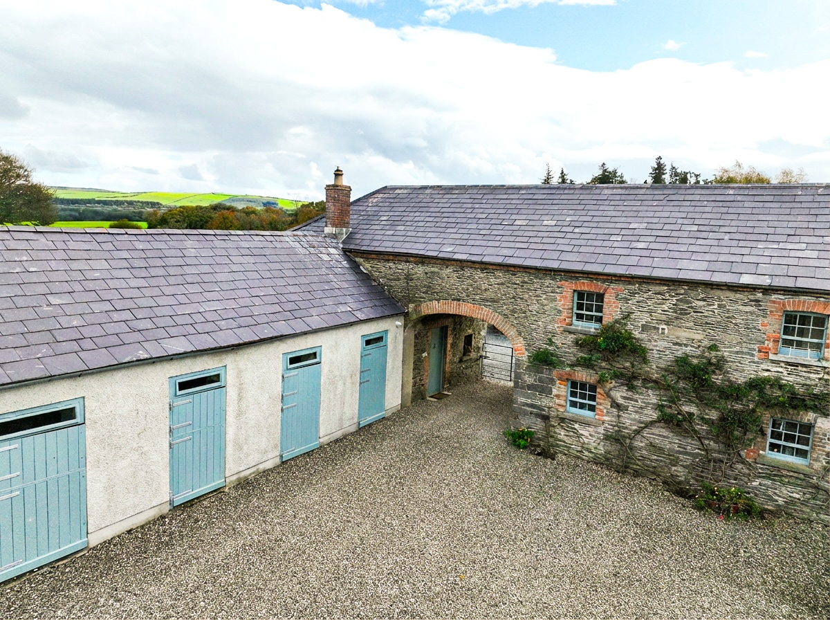 Enclosure in BraganstownEnclosure · 1098 yd
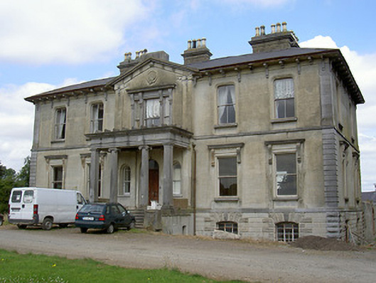 Williamstown Housecountry house · 1429 yd
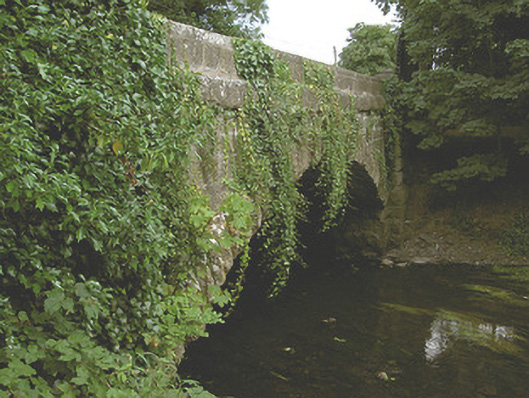 Mansfieldstown Bridgebridge · 1670 yd
 Castle (Site of)Castle, unclassified · 1.4 mi
 Drummeenagh HillMountain / peak · 1.6 mi
 CastleCastle, unclassified · 1.7 mi
 Rabbit BurrowWood · 2.0 mi
 Graveyard in Richardstown (ardee By., Richardstown Par.)Graveyard · 2.7 mi
 Monterey CypressMonterey Cypress · 2.7 mi
 Graveyard in StickillinGraveyard · 3.9 mi
 Tullydonnell HillMountain / peak · 4.6 mi