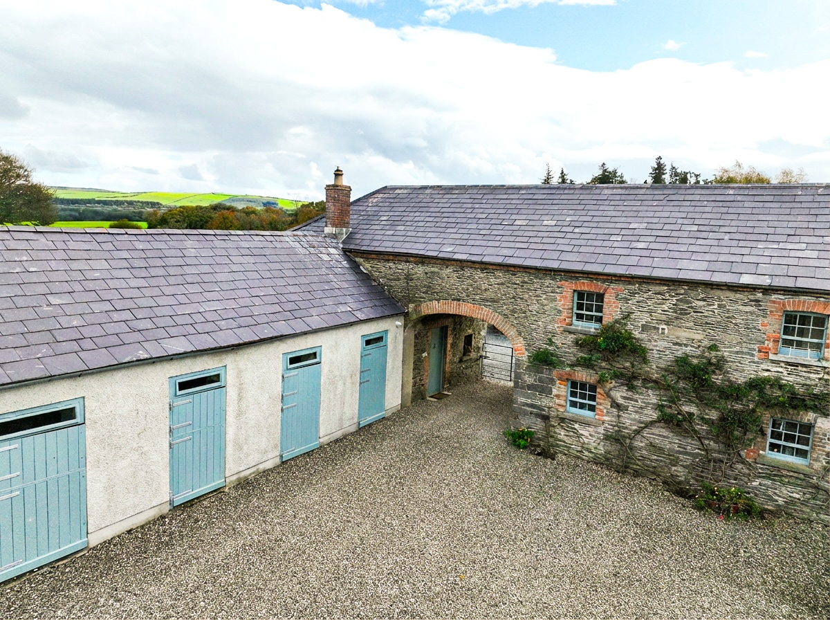
What is recorded here
Located at the E end of a low E-W ridge. Aerial photograph (GB89.I.01) shows the cropmark of a curvilinear enclosure (diam. c. 45m) defined by a fosse. It is also visible on Map Genie (1995) and Digital Globe (2011-13).
See the attached enhanced images from (01) Map Genie (1995) and (_02) Digital Globe
Compiled by: Dr Gillian Barrett for the Archaeological Survey of Ireland.
Date of upload: 10 June 2009
Amended: 7 June 2023
The monument record does not grant public access. Check the route and ask the landowner before entering private land.
- What survives
- Recorded monument
Places near here
 Abbey (Site of)Religious house, Knights Templars · 566 yd
 Enclosure in WilliamstownEnclosure · 778 yd
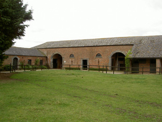 Castle Bellinghamstables · 988 yd
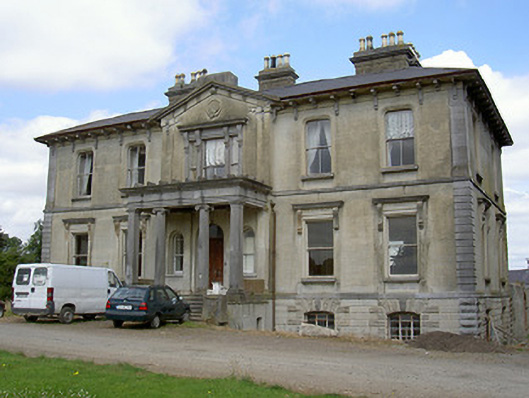 Williamstown Housecountry house · 1017 yd
 Castle (Site of)Castle, unclassified · 1283 yd
 Drummeenagh HillMountain / peak · 1.1 mi
 GreenmountCastle, motte and bailey · 1.3 mi
 Viking BoatHeritage attraction · 2.2 mi
 Rabbit BurrowWood · 2.5 mi
 Graveyard in Richardstown (ardee By., Richardstown Par.)Graveyard · 3.1 mi
 Monterey CypressMonterey Cypress · 3.2 mi
 Tullydonnell HillMountain / peak · 4.3 mi
Other information
Photo: Credit not shown in the picture search · Rights wording not checked; contact us if this picture should be removed