
What is recorded here
Located on a rise in a gently undulating landscape. This feature is depicted as a circular embanked enclosure (ext. diam. c. 55m) with a central mound on the 1835 edition of the OS 6-inch map where it is described as a ‘Fort’, and as a circular hachured feature (diam. of base c. 45m) with a crescent-shaped feature (dims c. 45m ENE-WSW; c. 15m NNW-SSE) attached to the N on the 1907 edition. It is still extant and was first reported by Barry Fitzgibbon of the Forest Service.
Compiled by: Michael Moore
Date of upload: 4 May 2021
The monument record does not grant public access. Check the route and ask the landowner before entering private land.
- What survives
- Recorded monument
Places near here
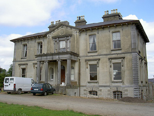 Williamstown Housecountry house · 310 yd
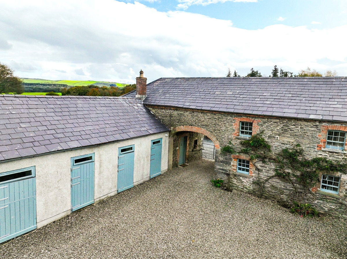 Enclosure in BraganstownEnclosure · 778 yd
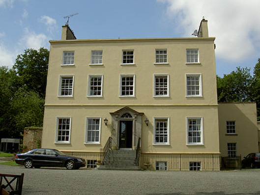 Spencer Houserectory/glebe/vicarage/curate's house · 877 yd
 Abbey (Site of)Religious house, Knights Templars · 934 yd
 Castle (Site of)Castle, unclassified · 1432 yd
 GreenmountCastle, motte and bailey · 1676 yd
 Drummeenagh HillMountain / peak · 1.4 mi
 Viking BoatHeritage attraction · 2.6 mi
 Rabbit BurrowWood · 2.8 mi
 Graveyard in Richardstown (ardee By., Richardstown Par.)Graveyard · 3.0 mi
 Monterey CypressMonterey Cypress · 3.0 mi
 Tullydonnell HillMountain / peak · 3.9 mi
Other information
Photo: Credit not shown in the picture search · Rights wording not checked; contact us if this picture should be removed