
What is recorded here
Discovered prior to road construction (Excavation Licence No. 97E0475 ext.). Excavation revealed a burnt spread (8.4m x 4.56m) which covered a hearth, a trough, two pits and a rough paved area. A large number of flint artefacts were recovered, including a leaf-shaped arrowhead, a barbed and tanged arrowhead, three round scrapers, two cores together with primary flakes and débitage. Over half the flint artefacts were recovered on top of the paved area, leading to the suggestion that this may have functioned as knapping area. (Ó Drisceoil 2000, 186)
Compiled by: Claire Breen
Date of upload: 19 June 2012
The monument record does not grant public access. Check the route and ask the landowner before entering private land.
- What survives
- Recorded monument
Places near here
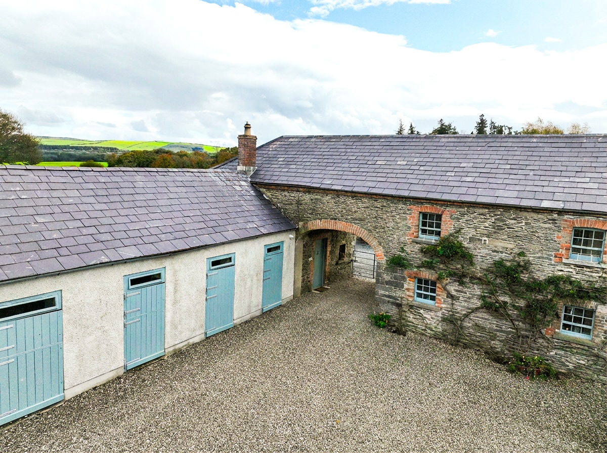 Enclosure in BraganstownEnclosure · 1281 yd
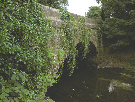 Mansfieldstown Bridgebridge · 1454 yd
 Wall monument (present location) in BraganstownWall monument (present location) · 1484 yd
 Enclosure in WilliamstownEnclosure · 1649 yd
 Castle (Site of)Castle, unclassified · 1.5 mi
 Drummeenagh HillMountain / peak · 1.7 mi
 CastleCastle, unclassified · 1.7 mi
 Rabbit BurrowWood · 1.8 mi
 Graveyard in Richardstown (ardee By., Richardstown Par.)Graveyard · 2.7 mi
 Monterey CypressMonterey Cypress · 2.7 mi
 Graveyard in StickillinGraveyard · 3.8 mi
 Tullydonnell HillMountain / peak · 4.7 mi
Other information
Photo: Credit not shown in the picture search · Rights wording not checked; contact us if this picture should be removed