What is recorded here
Adjoining ringfort (TS068-058001-) to E. Sub-rectangular area (dims. 45m N-S; c. E-W) defined by low earthen bank (Wth 6m; int. H 0.35m; ext. H 2.35m) to S and W only. Possible external fosse (Wth 7.5m; D 0.1m) to W. Collapsed earth and stone field boundary encloses monument to S, W and N and it is incorporated into exterior of bank along E-end of S-side. Interior in pasture and tends downslope gently to S.
Compiled by: Jean Farrelly
Date of upload: 26 August 2011
The monument record does not grant public access. Check the route and ask the landowner before entering private land.
- What survives
- Recorded monument
Places near here
 Boytonrath Church (in ruins)Church · 647 yd
 Boytonrath Castle (in ruins)Castle, unclassified · 809 yd
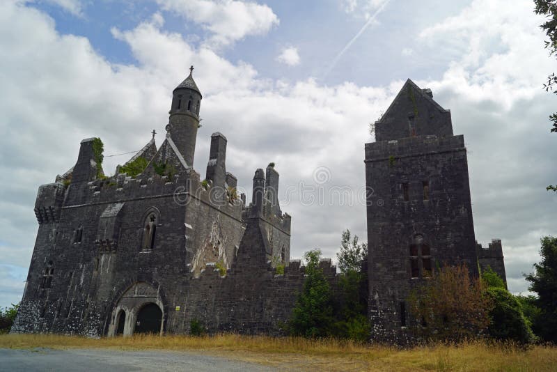 Enclosure in Templenoe (killeenasteena Par.)Enclosure · 1254 yd
 Dangandargan Church (in ruins)Church · 1457 yd
 Enclosure in Lagganstown UpperEnclosure · 1.1 mi
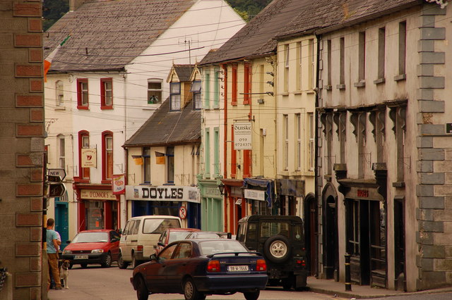 Bawn in Lagganstown UpperBawn · 1.2 mi
 Athassel PrioryHeritage attraction · 2.1 mi
 Caucasian zelkovaCaucasian zelkova · 4.6 mi
 Cappa WoodWood · 5.3 mi
 SturrakeenMountain / peak · 7.3 mi
 Laghtshanaquilla North-East TopMountain / peak · 8.0 mi
 I.R.A. 3rd. Tipperary Brigade MemorialMemorial · 8.8 mi