
What is recorded here
In thick impenetrable growth, on N-facing slope, overlooking valley of Scibereen Stream. Access not gained. Depicted on 1900-05 OS 6-inch map as circular enclosure (diam. c. 25m) within scrubland. Active quarry to N.
Compiled by: Jean Farrelly
Date of upload: 26 August 2011
The monument record does not grant public access. Check the route and ask the landowner before entering private land.
- What survives
- Recorded monument
Places near here
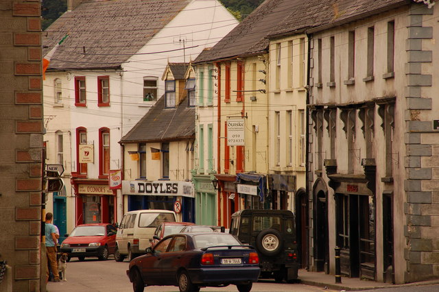 Bawn in Lagganstown UpperBawn · 837 yd
 Field system in BallyslatteenField system · 1146 yd
 Wall monument in Athasselabbey NorthWall monument · 1748 yd
 Site of ChurchChurch · 1756 yd
 CastleCastle, unclassified · 1.0 mi
 Athassel Abbey (in ruins)Religious house, Augustinian canons · 1.0 mi
 Athassel PrioryHeritage attraction · 1.0 mi
 Caucasian zelkovaCaucasian zelkova · 4.4 mi
 Cappa WoodWood · 5.0 mi
 SturrakeenMountain / peak · 6.8 mi
 Laghtshanaquilla North-East TopMountain / peak · 7.4 mi
 I.R.A. 3rd. Tipperary Brigade MemorialMemorial · 7.7 mi
Other information
Photo: Credit not shown in the picture search · Rights wording not checked; contact us if this picture should be removed