What is recorded here
In wet pasture 450m NE of the Morningstar River that marks the townland boundary with Ballinvana. Elton barrow cemetery first identified in 1982 by the Archaeology Department of UCC who carried out a Route Selection Study report for Bórd Gáis Éireann in consultation with ARUP Pipeline Engineering (Woodman 1983). One of 37 possible barrows (LI040-078002/035-/-037/039-) recorded within an area measuring 230m N-S x 300m E-W. Listed by the Discovery Programme as a potential barrow (Site No. 13) on examination of gas pipeline aerial images and Bruff aerial photographic survey in 1986 (Bruff AP 2123). No surface remains visible on Google Earth orthoimages.
See attached aerial photograph (Site No. 13) and Google Earth orthoimages.
Compiled by: Martin Fitzpatrick
Date of upload: 3 June 2021
A Bronze Age barrow; part of a cemetery complex. Its significance lies in contributing to the understanding of early burial practices in the region.
The monument record does not grant public access. Check the route and ask the landowner before entering private land.
- What survives
- Recorded monument
Places near here
 BarrowBarrow, ditch barrow · 187 yd
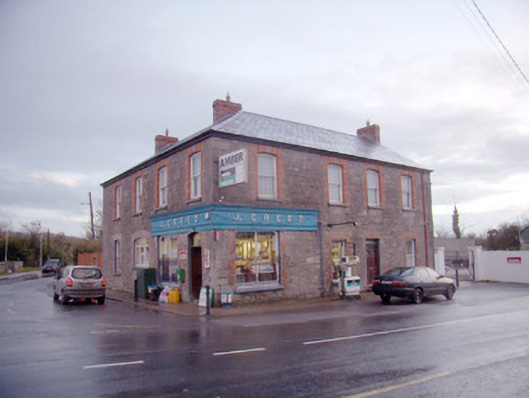 J. Creedhouse · 591 yd
 Field system in BallinvanaField system · 640 yd
 Kiln in DoonmoonKiln · 1047 yd
 Athneasy FortCastle, motte and bailey · 1061 yd
 Mote - HachuredCastle, motte · 1.7 mi
 St Patrick's WellSpring · 2.2 mi
 Edmund's WellSpring · 2.4 mi
 Flat cemetery in Knockainy WestFlat cemetery · 2.9 mi
 Ballinvreena LoopVisitor information · 2.9 mi
 SlievereaghMountain / peak · 4.3 mi
 Carn (site of)Cairn, burial cairn · 4.8 mi