What is recorded here
Athneasy Fort located 50m N of Athneasy church (LI040-0104001-) and graveyard (LI040-0104002-) described in 1840 as following; 'To the north west of the burying ground and very close to it stands a moat or dun, which is called Dún Bhéal Atha na nDeisig (nDeiseach). A trench ran round the base of the dún, which was twenty one feet [6.4m] broad therefrom to the fosse (by fosse is meant here the circular rampart or earthen mound that ran round the trench at the base of the moat) that enclosed it. The fosse has been entirely destroyed. It enclosed the trench on the east, south and west by north sides and on the north east side a square flat which measures thirty eight yards = one hundred and fourteen feet [34.7m] from north west to south east and seventy two feet [22m] from north east to south west. The circumference around the base of this dun is one hundred and twenty eight paces, three hundred and eighty four feet [117m]. It measures twenty six feet [7.9m] on the east side in the ascent from the base to the summit. It is twenty five paces = seventy five feet [22.8m] in diameter at top' (OSL Athneasy Parish).
Athneasy Fort located 50m N of Athneasy church (LI040-0104001-) and graveyard (LI040-0104002-) described in 1840 as following; 'To the north west of the burying ground and very close to it stands a moat or dun, which is called Dún Bhéal Atha na nDeisig (nDeiseach). A trench ran round the base of the dún, which was twenty one feet [6.4m] broad therefrom to the fosse (by fosse is meant here the circular rampart or…
From the National Monuments Service (Archaeological Survey of Ireland) record LI040-105
The monument record does not grant public access. Check the route and ask the landowner before entering private land.
- What survives
- Recorded monument
Places near here
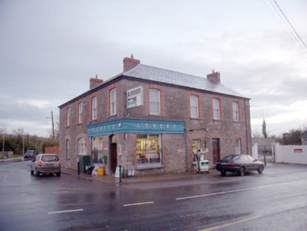 J. CreedHouse · 690 yd
 Knocktoran HouseGate lodge · 901 yd
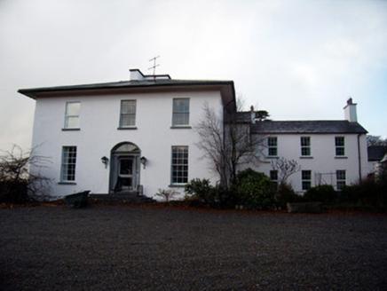 Knocktoran HouseCountry house · 925 yd
 Castle (in ruins)Castle, tower house · 2.5 mi
 KnockainyMountain / peak · 3.8 mi
 SlievereaghMountain / peak · 4.1 mi
 Grave YardGraveyard · 4.8 mi
 Ladys WellHoly well · 6.0 mi
 Ballyhooly CastleCastle · 20 mi
 European Yew23 miEuropean Yew23 mi
 Kanturk CastleHeritage attraction · 26 mi
Pictures: National Inventory of Architectural Heritage; Mike Searle, Wikimedia Commons · CC BY-SA 2.0; Dylan Moore, Geograph · CC BY-SA 2.0; Colin Park, Geograph · CC BY-SA 2.0; Hywel Williams, Geograph · Creative Commons Attribution-ShareAlike 2.0; Jonathan Thacker, Geograph · CC BY-SA 2.0; Sitomon, Wikimedia Commons · CC BY-SA 2.0; The Speckled Bird, Wikimedia Commons · CC BY-SA 4.0
More castles and forts in County Limerick · All of County Limerick
What do you know about this place?