What is recorded here
In reclaimed pasture. Outline of ditch-barrow (diam. c. 6m) visible on Google Earth orthoimage taken 20/03/2018.
See attached Google Earth orthoimages
Compiled by: Caimin O'Brien
Date of upload: 6 December 2021
Ditch barrow, likely dating to the Early Bronze Age. Its presence indicates prehistoric burial practices in the area, though further investigation is needed to confirm its exact type and cultural context.
The monument record does not grant public access. Check the route and ask the landowner before entering private land.
- What survives
- Recorded monument
Places near here
 BarrowBarrow, ditch barrow · 77 yd
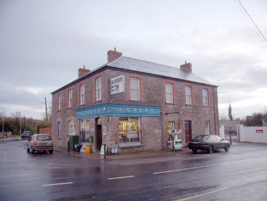 J. Creedhouse · 1057 yd
 Field system in BallinvanaField system · 1100 yd
 Kiln in DoonmoonKiln · 1238 yd
 Athneasy FortCastle, motte and bailey · 1526 yd
 Mote - HachuredCastle, motte · 1.4 mi
 St Patrick's WellSpring · 2.2 mi
 Edmund's WellSpring · 2.5 mi
 Flat cemetery in Knockainy WestFlat cemetery · 2.6 mi
 Ballinvreena LoopVisitor information · 3.1 mi
 SlievereaghMountain / peak · 4.5 mi
 Carn (site of)Cairn, burial cairn · 4.7 mi