What is recorded here
In pasture, straddling the break of slope on the S side of an E-W ridge. Not marked on the 1837 edition of the OS 6-inch map. Shown on the 1913 as a subrectangular area (c. 30m E–W; c. 25m N–S) defined on the W and N sides by a roughly L-shaped hachured bank, on the E side by a N-S field boundary/townland boundary, and open to S. The L-shaped bank has been levelled but the slightly raised outline of the enclosure can still be traced.
Compiled by: Patrick F. O'Donovan
Date of upload: 19 January 2011
The monument record does not grant public access. Check the route and ask the landowner before entering private land.
- What survives
- Recorded monument
Places near here
 Fulacht fia in BarnacoghilFulacht fia · 870 yd
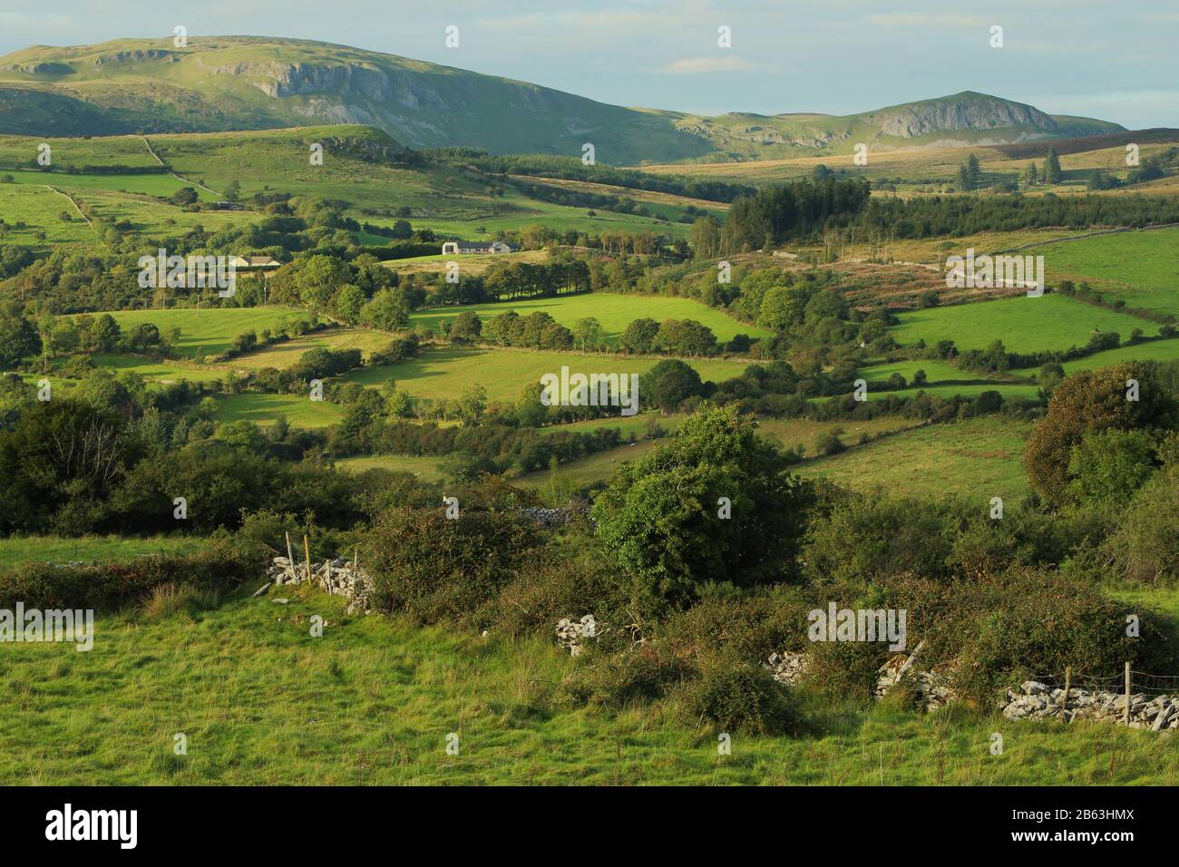 IndicatedEnclosure · 907 yd
 CastleCastle, tower house · 972 yd
 Lady Margaret's TowerRuins · 1735 yd
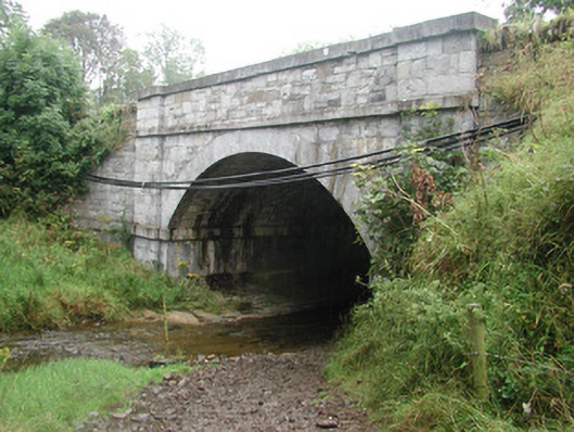 bridgebridge · 1.0 mi
 Site of Dunneill CastleCastle, unclassified · 2.4 mi
 DonaghHeadland · 2.8 mi
 Knockalongy South-West TopMountain / peak · 3.5 mi
 Eamonn's TopMountain / peak · 3.5 mi
 White RockNamed rock · 3.9 mi
 Aughris BeachBeach / strand · 3.9 mi
 Dunmoran StrandBeach / strand · 4.5 mi