What is recorded here
The fairy fort or earthen ringfort in Ballyphilip (Ballingarry parish, South Riding) is in County Tipperary, Ireland. It sits on a northeast-facing slope above a river valley, with a steep ravine running immediately to the north. An earth and stone bank encloses a circular area roughly 54 metres wide from east to west, though the bank is reduced to a scarp from the northwest through the north to the east side. A large natural rock outcrop rises in the centre of the interior, and a four-metre gap in the southeast bank may be original or a later livestock opening.
On a NE-facing slope of rising ground in upland area overlooking river valley to E and N. Steep river ravine runs past ringfort immediately to N on an E-W axis, acting like a defensive feature on this side but not forming an enclosing element. Ringfort built right up against ravine but not utilising the ravine as an enclosing feature and is located on partially reclaimed wet land now in re-seeded grassland. . Nearby cliff-edge fort (TS049-037----) 250m to NW and ringfort (TS049-036----) 300m to N. Ringfort consists of a large circular area (int. diam. 39m NNW-SSE; 48m E-W; overall diam 54m E-W) enclosed by an earth and stone bank (top Wth. 1.5- 3m; base Wth 2-4m; int. H 0.4m; ext. H 0.7-1.2m) and poorly preserved outer fosse (base Wth 3m; top Wth 4m; ext. D 0.25m) visible at W only. Bank, covered in thorn and gorse bushes, is preserved from S through W to NW only elsewhere are defined by a scarp (H 3m at E; 7m at N), originally the bank enclosed the whole, unlike a cliff-edge fort. Large natural rock outcrop protruding above surface of ringfort in centre of interior. Gap (Wth 4m) in bank at SE may be original or may be a later livestock gap. Bank mainly reduced to a scarp from NW through N to E on the ravine side and is best preserved at W on the upslope. Very steep drop to ravine from NW to N where monument is defined by a scarp. Interior slopes from W to E, with a berm like feature enclosing the monument from NE to E only. Slight cattle poaching done to external face of bank at W.
Compiled by: Jean Farrelly
Date of upload: 26 August 2011
The monument record does not grant public access. Check the route and ask the landowner before entering private land.
- What survives
- Recorded monument
Places near here
 IndicatedFairy fort / earthen ringfort · 339 yd
 Mine in Earlshill,glengoole SouthMine · 1095 yd
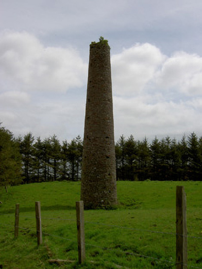 Earlshill Collierychimney · 1148 yd
 Site of Lisnamrock CastleCastle, unclassified · 1.1 mi
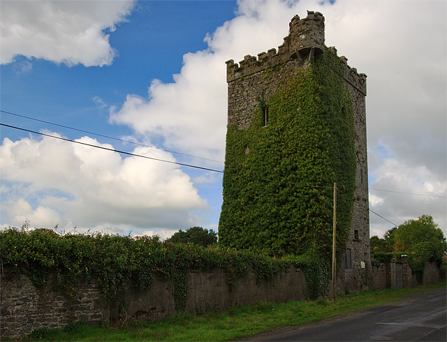 Site of Williamstown CastleCastle, unclassified · 1.2 mi
 Druids AltarMegalithic structure · 1.3 mi
 Waterloo HillMountain / peak · 2.1 mi
 Bregaun HillMountain / peak · 2.5 mi
 Slieveardagh Heritage CentreVisitor information · 4.1 mi
 Derrynaflan TrailHeritage attraction · 4.1 mi
 Rapefield WoodForest · 4.2 mi
 Kilcooly AbbeyHeritage attraction · 4.4 mi