
What is recorded here
On top of high ground in the Slieveardagh hills with panoramic views in all directions. A ringbarrow (TS048-051----) lies 175m to the S on a lower ridge. The remains consist of a trig. station on top of a low amorphous spread of stones which may be the remains of a cairn. Immediately S of the trig. Station, and possibly originally covered by cairn material, are the remains of a large irregular-shaped recumbent slab or capstone (Wth 1.5m x L 1.9m x T 0.4m) supported on smaller stones, possibly overlying a burial chamber. The monument is known locally as the “Druid's Altar” and is indicated as such on an 1824 map of the area (NLI 16.I.17 (1)).
Compiled by: Jean Farrelly
Date of upload: 26 August 2011
The monument record does not grant public access. Check the route and ask the landowner before entering private land.
- What survives
- Recorded monument
Places near here
 Ballinalacken Church (in ruins)Church · 985 yd
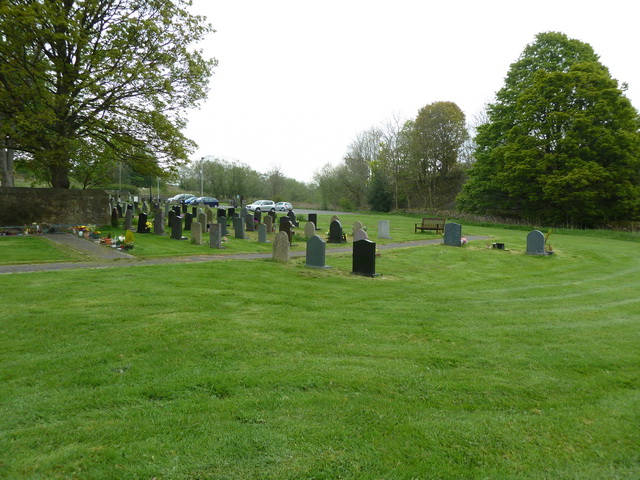 Grave YardHoly well · 1006 yd
 RoadRoad, road/trackway · 1029 yd
 Waterloo HillMountain / peak · 1.0 mi
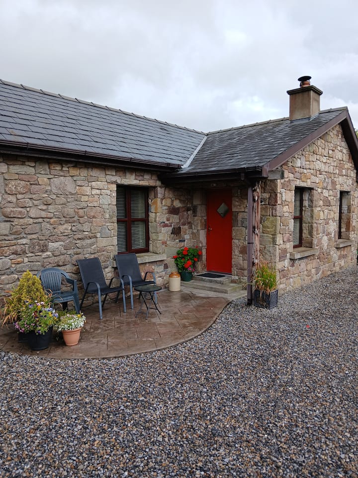 Enclosure in Glengoole SouthEnclosure · 1.1 mi
 Mellisson CastleCastle, tower house · 1.5 mi
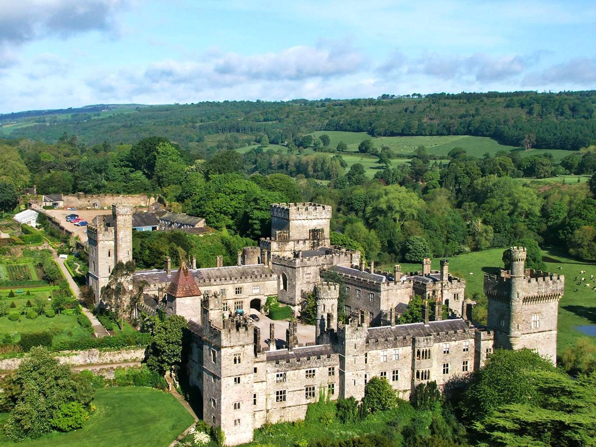 Site of Lisnamrock CastleCastle, unclassified · 2.3 mi
 Derrynaflan TrailHeritage attraction · 2.9 mi
 Bregaun HillMountain / peak · 3.2 mi
 Slieveardagh Heritage CentreVisitor information · 3.5 mi
 Gobban Saer's GraveArchaeological place · 4.4 mi
 Sweet ChestnutSweet Chestnut · 4.7 mi
Other information
Photo: Credit not shown in the picture search · Rights wording not checked; contact us if this picture should be removed