
What is recorded here
On a NW-facing slope of rising ground in the Slieveardagh hills overlooking lower ground from W through N to E and higher ground to S. The present remains consists of a grass-covered cobbled roadway (Wth 3m) running E-W across the N face of the Slieveardagh hills and known locally as Cromwell's Road. The road is defined by a scarp (H 0.4m) on its N side and by a stone-faced field bank (top Wth 1.3m; base Wth 2.6m; int. H 2-2.5m; ext. H 1m) and outer fosse (Wth 1m; ext. D 0.8m) on the S upper slope. A further extension of this road runs NE from the main New Birmingham road across dry land to a church (TS048-038----) in the townland of Glengoole North and onwards in a NE direction across the bog where it is visible as a togher and connects up with Derryvella church (TS048-035----), all portions of this road are known locally as Cromwell's Road. There is a recently planted coniferous plantation in the adjoining field to the N and grassland in the fields to the S. The W end of the road is now blocked by furze bushes making it inaccessible.
Compiled by: Jean Farrelly
Date of upload: 26 August 2011
The monument record does not grant public access. Check the route and ask the landowner before entering private land.
- What survives
- Recorded monument
Places near here
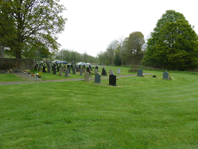 Grave YardHoly well · 240 yd
 Ballinalacken Church (in ruins)Church · 274 yd
 Waterloo HillMountain / peak · 834 yd
 Enclosure in Glengoole SouthEnclosure · 878 yd
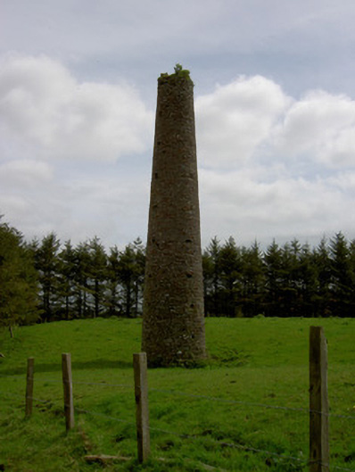 Earlshill Collierychimney · 1.1 mi
 Mellisson CastleCastle, tower house · 2.0 mi
 Bog Castle (in Ruins)Castle, unclassified · 2.4 mi
 Derrynaflan TrailHeritage attraction · 2.5 mi
 Slieveardagh Heritage CentreVisitor information · 2.9 mi
 Bregaun HillMountain / peak · 3.7 mi
 Gobban Saer's GraveArchaeological place · 3.8 mi
 Sweet ChestnutSweet Chestnut · 4.5 mi
Other information
Photo: Credit not shown in the picture search · Rights wording not checked; contact us if this picture should be removed