
What is recorded here
On a SE-facing slope on rising grassland in upland area with good views to E and higher ground to W. Nearby cliff-edge fort (TS049-037----) 400m to the SW and ringfort (TS049-038----) 300m to the S. Laneway intersects E side of ringfort as depicted on six inch OS 6-inch map destroying the enclosing bank and outer fosse from NE through E to S. Main road intersects external face of enclosing bank at N destroying the outer fosse on this side. Ringfort consists of a circular area (int. diam. 29m N-S; 32m E-W; overall diam. 40m N-S; 39m E-W) enclosed by an earth and stone bank (Top Wth. 3m; base Wth. 6m; ext. H 0.6m; int. H 0.2-0.5m ) best preserved at N. No evidence for an outer fosse. Possible entrance gap (Wth. 6m) at W although this may be just an insertion or entrance that has been widened. Possible remains of the wall footings of limekiln built into E face of ringfort interior and accessed off farm lane. No other features visible. Monument in disturbed grassland, interior well preserved and bank best visible at N, elsewhere mainly reduced to scarp and destroyed at E by laneway. Interior is slightly higher than external ground surface and follows slope from W to E, bank best preserved at N and S. Laneway to E of ringfort shown on the 1st (1840) ed. OS 6-inch map.
Compiled by: Jean Farrelly
Date of upload: 26 August 2011
The monument record does not grant public access. Check the route and ask the landowner before entering private land.
- What survives
- Recorded monument
Places near here
 Mine in Earlshill,glengoole SouthMine · 1269 yd
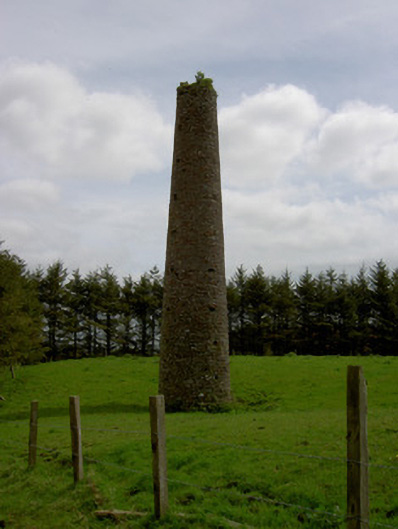 Earlshill Collierychimney · 1355 yd
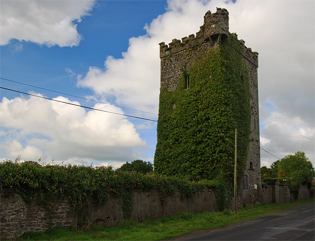 Site of Williamstown CastleCastle, unclassified · 1.1 mi
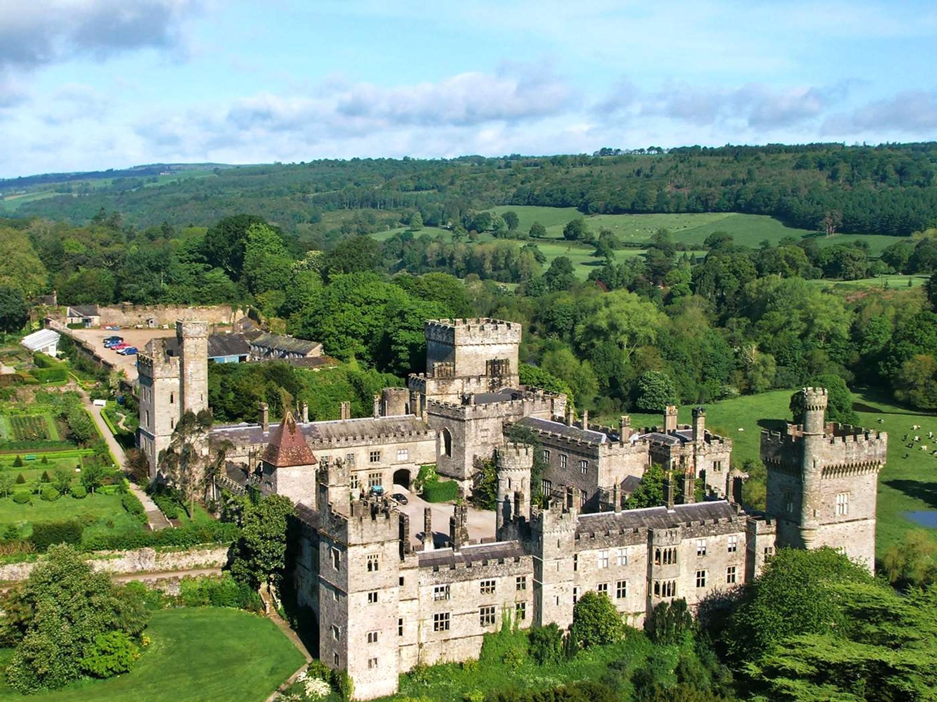 Site of Lisnamrock CastleCastle, unclassified · 1.2 mi
 Druids AltarMegalithic structure · 1.3 mi
 Enclosure in Poyntstown (fennor Par.)Enclosure · 1.8 mi
 Waterloo HillMountain / peak · 2.2 mi
 Bregaun HillMountain / peak · 2.3 mi
 Rapefield WoodForest · 4.0 mi
 Derrynaflan TrailHeritage attraction · 4.2 mi
 Kilcooly AbbeyHeritage attraction · 4.2 mi
 Slieveardagh Heritage CentreVisitor information · 4.3 mi
Other information
Photo: Credit not shown in the picture search · Rights wording not checked; contact us if this picture should be removed