
What is recorded here
On NE facing slope of rising ground, in grassland, on the Slieveardagh hills with good views in all directions. Disused open cast mine which has been filled in from spoil heap debris which according to local information was at least 30ft high, only a slight hollow marks the site of the filled in mine. A map of the coal district around Killenaule from 1824 (NLI 16.I.17(1)) marks this site as a 'Danish excavation', and it was regarded locally to be an ancient coal working site. According to local information the mine was filled in approximately 30 yrs ago and was regarded locally to be much older than the 19th-century coal mines of this area. This old mine was located in a district which was intensively mined for coal in the 19th century.
Compiled by: Jean Farrelly
Date of upload: 26 August 2011
The monument record does not grant public access. Check the route and ask the landowner before entering private land.
- What survives
- Recorded monument
Places near here
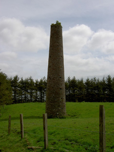 Earlshill Collierychimney · 159 yd
 Druids AltarMegalithic structure · 1215 yd
 IndicatedFairy fort / earthen ringfort · 1269 yd
 Ballinalacken Church (in ruins)Church · 1.2 mi
 Waterloo HillMountain / peak · 1.4 mi
 Mellisson CastleCastle, tower house · 1.5 mi
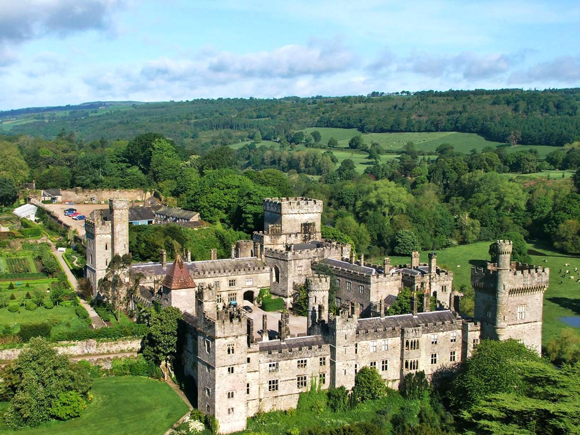 Site of Lisnamrock CastleCastle, unclassified · 1.6 mi
 Bregaun HillMountain / peak · 2.9 mi
 Derrynaflan TrailHeritage attraction · 3.5 mi
 Slieveardagh Heritage CentreVisitor information · 3.6 mi
 Rapefield WoodForest · 4.6 mi
 Kilcooly AbbeyHeritage attraction · 4.7 mi
Other information
Photo: Credit not shown in the picture search · Rights wording not checked; contact us if this picture should be removed