What is recorded here
At the S end of promontory-like spur of land in upland area with good extensive views to S and E, higher ground to N and W. Nearby ringforts (TS049-038----/TS049-036----) 250m to SE and 400m to NE respectively. Levelled monument consisting of a triangular-shaped area (approx. dims. 60m N-S; 38m E-W-) now defined by a steep drop at S and slight drop in land to E and W. Narrow stretch of land (Wth. 16m) to N appears to provide original access area into interior with natural fall of land to E, S and W providing a defensive feature. Monument in disturbed grassland but may originally have been located on wet marshy land in upland area. Depicted on the 1st (1840) ed. OS 6-inch map as a triangular-shaped enclosure with a rounded point towards S overlooking steep ravine immediately to S and SE. Very similar to a triangular-shaped earthwork in Stook townland, North Tipperary (TN028-007----) which is similarly named on the OS 6-inch maps as 'Knockauns fort'. Field boundary to N and E depicted on OS have been removed, possibly monument was levelled when field boundaries were being removed. Dimensions are of the area where the natural slope falls away from the interior, presumably this was where the enclosing features were located. Traces of external fosse at E side only but this may be related to field boundary depicted on OS 6-inch map immediately E of monument.
Compiled by: Jean Farrelly
Date of upload: 26 August 2011
The monument record does not grant public access. Check the route and ask the landowner before entering private land.
- What survives
- Recorded monument
Places near here
 IndicatedFairy fort / earthen ringfort · 434 yd
 Mine in Earlshill,glengoole SouthMine · 839 yd
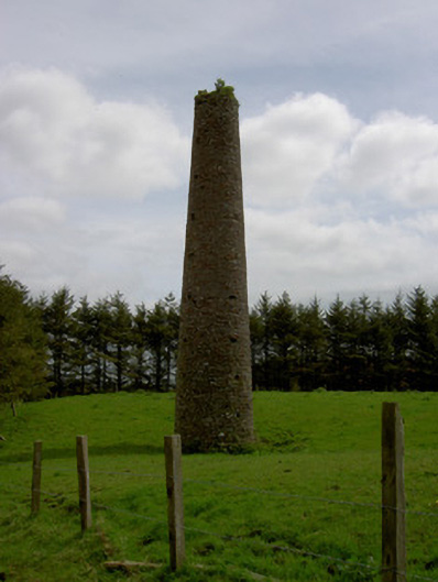 Earlshill Collierychimney · 921 yd
 Druids AltarMegalithic structure · 1.1 mi
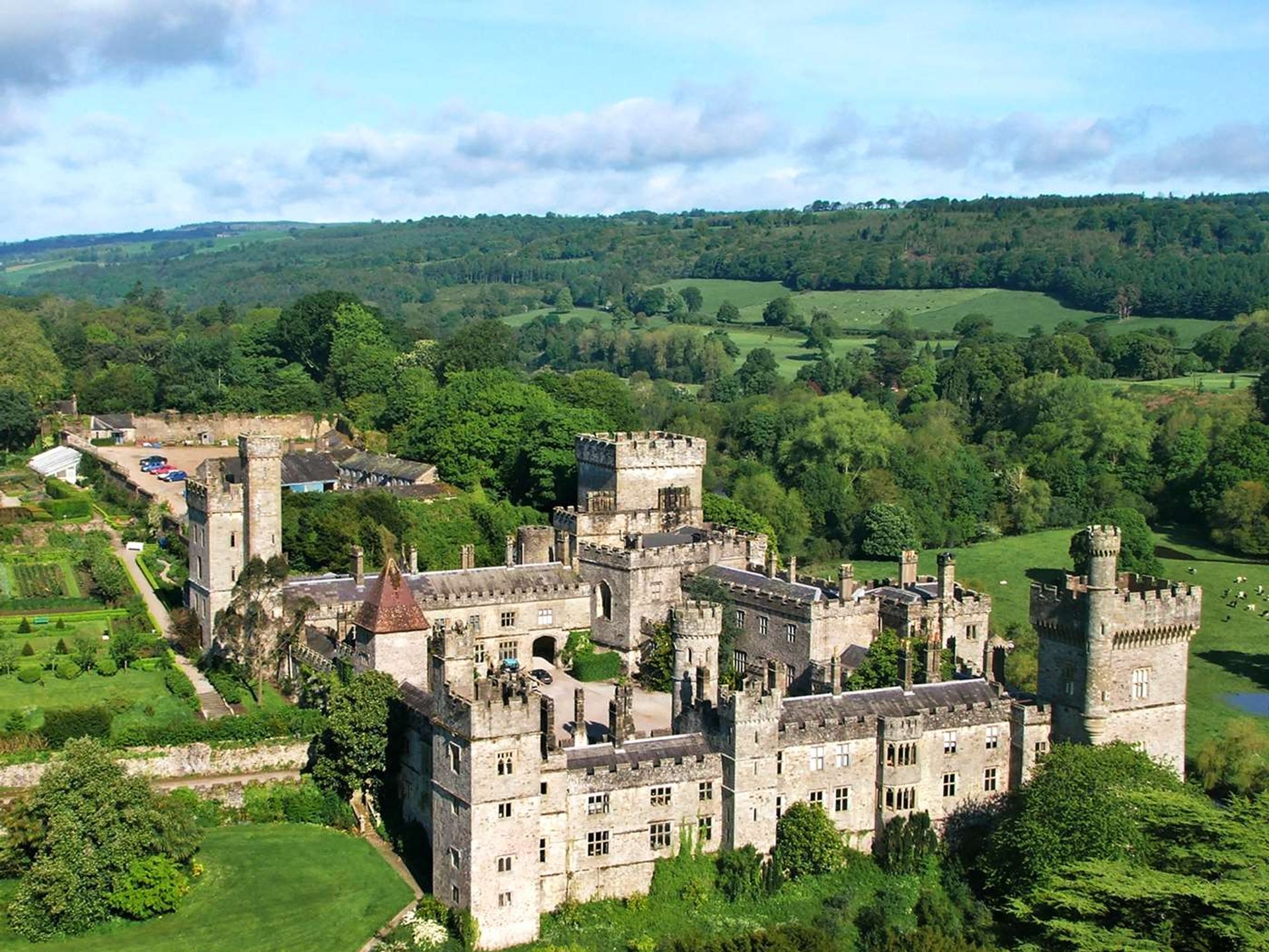 Site of Lisnamrock CastleCastle, unclassified · 1.3 mi
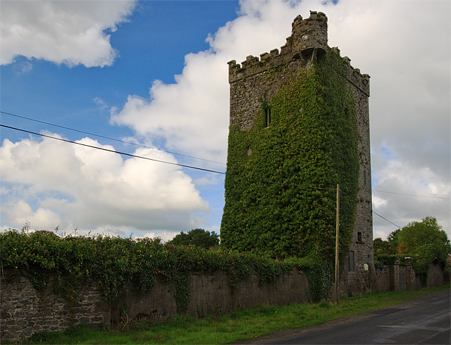 Site of Williamstown CastleCastle, unclassified · 1.3 mi
 Waterloo HillMountain / peak · 1.9 mi
 Bregaun HillMountain / peak · 2.5 mi
 Derrynaflan TrailHeritage attraction · 4.0 mi
 Slieveardagh Heritage CentreVisitor information · 4.0 mi
 Rapefield WoodForest · 4.2 mi
 Kilcooly AbbeyHeritage attraction · 4.4 mi