What is recorded here
Site of Entrenchment is a promontory fort (coastal) in Ballynarrid, County Waterford, Ireland. The promontory occupies a sea-stack that an eroded, impassable rock isthmus now ties to the mainland, while the landward earthworks marked on the 1840 map had disappeared by 1906. Its roughly 50 metre by 45 metre interior is reputed to contain several hut sites, three of which appeared on that same map, and the inaccessible headland also holds mineworkings.
Located on a sea-stack now connected to the mainland by an eroded and impassable rock isthmus. Earthworks on the landward side, marked on the 1840 ed. of the OS 6-inch map, had disappeared by 1906 (Westropp 1906, 252). The interior (dims. c. 50m x c. 45m) is reputed to have a number of hut sites (Westropp 1914-16, 219-21) and three are indicated on the 1840 ed. of the OS 6-inch map. The headland also has mineworkings (WA032-016002-), but all its features are inaccessible. (Mulholland 1976)
The above description is derived from the published 'Archaeological Inventory of County Waterford' (Dublin: Stationery Office, 1999). In certain instances the entries have been revised and updated in the light of recent research.
Compiled by: Michael Moore
Date of upload/revision: 26th September, 2011.
The monument record does not grant public access. Check the route and ask the landowner before entering private land.
- What survives
- Recorded monument
Places near here
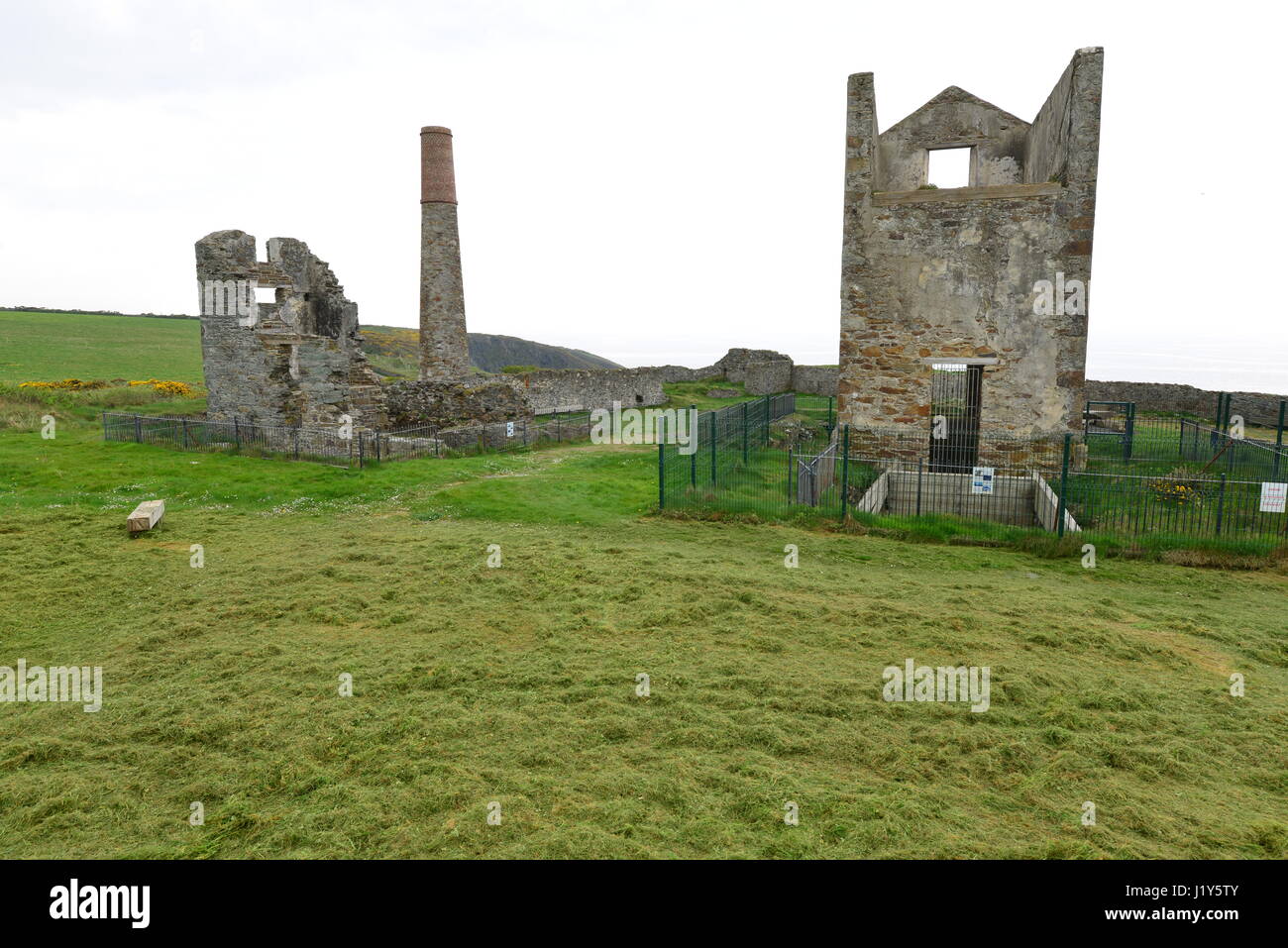 Mine in BallynarridMine · 88 yd
 Promontory fortPromontory fort, coastal · 289 yd
 TempleobrickChurch · 340 yd
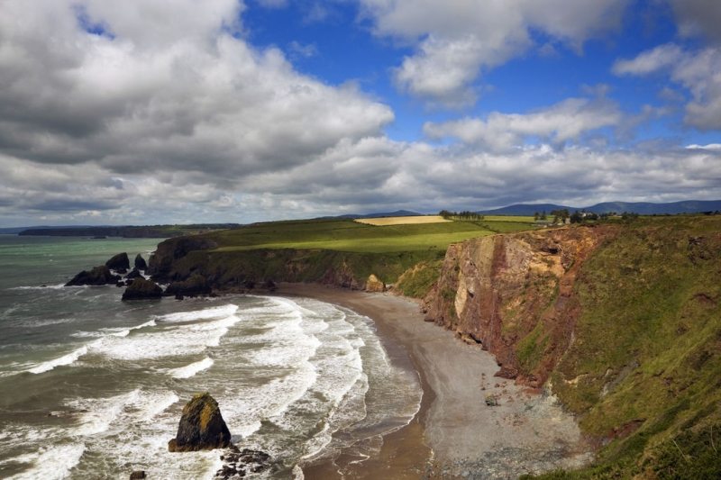 Hut site in Ballydowane EastHut site · 542 yd
 Ballydowane CoveBeach / strand · 976 yd
 Tra na mBoBeach / strand · 1238 yd
 Trá na mBóVisitor information · 1363 yd
 Bunmahon StrandBeach / strand · 1.2 mi
 Bunmahon Miners' CottagesVisitor information · 1.2 mi
 Copper CoastCoastal geological landscape · 1.4 mi
 Mandevilles RockCastle, unclassified · 2.6 mi
 St. Bernard's WellSpring · 3.5 mi
Other information
Photo: Credit not shown in the picture search · Rights wording not checked; contact us if this picture should be removed