What is recorded here
Fairy fort / ringfort in Ballynagall (corkaree By.) is a fairy fort or ringfort in Ballynagall (corkaree By.), County Westmeath, Ireland. This circular shaped enclosure sits in the grassland on the demesne lands of Ballynagall House, with the eastern shoreline of Lough Owel lying 530 metres to the west. All editions of the OS 6-inch maps depict the site, and its outline was clearly visible on a Digital Globe aerial photograph taken in November 2011.
Situated in grassland on the demesne lands of Ballynagall House. The E shoreline of Lough Owel lies 530m to the W. Circular shaped enclosure depicted on all editions of the OS 6-inch maps. Outline of ringfort clearly visible on Digital Globe aerial photograph taken November 2011.
Compiled by: Frank Coyne and Caimin O'Brien
Date of upload: 12 March 2018
The monument record does not grant public access. Check the route and ask the landowner before entering private land.
- What survives
- Recorded monument
Places near here
 Partially hachuredFairy fort / ringfort · 615 yd
 Partially indicatedFairy fort / earthen ringfort · 849 yd
 Scragh Bog Nature ReserveNature reserve · 1093 yd
 Abbey, Church IslandChurch · 1341 yd
 Church IslandIsland · 1363 yd
 CastleCastle, tower house · 1402 yd
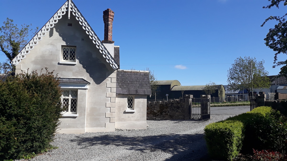 IndicatedCastle, tower house · 1446 yd
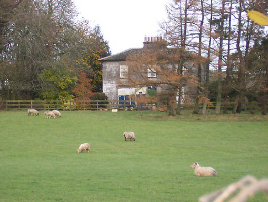 The Gleberectory/glebe/vicarage/curate's house · 1538 yd
 Long PlantingForest · 1.0 mi
 Saint Brigid's WellSpring · 1.5 mi
 Srudarra IslandIslet · 1.6 mi
 United Nations War MemorialMemorial · 2.3 mi