What is recorded here
Fairy fort / ringfort in Ballynaclonagh is a fairy fort or ringfort in Ballynaclonagh, County Westmeath, Ireland. The site sits on the northeast face of an east-west ridge with views of Lough Derravaragh to the northeast. An 1837 edition Ordnance Survey map depicted it as a circular enclosure with a quarry immediately to the northeast. The site has been levelled, and no surface remains are visible, though a circular crop mark with an approximate north-south diameter of 40 metres appears in a Digital Globe aerial photograph taken in November 2011.
Situated on the NE face of a ridge running E-W, with views of Lough Derravaragh to the NE. Depicted as a circular enclosure with a quarry immediately to NE on the 1837 ed. OS 6-inch map. This site has been levelled. No surface remains visible. The levelled monument is visible as a circular crop mark (approx. diam. 40m N-S) on the Digital Globe aerial photograph taken November 2011.
Compiled by: Frank Coyne & Caimin O'Brien
Date of upload: 1 February 2017
The monument record does not grant public access. Check the route and ask the landowner before entering private land.
- What survives
- Recorded monument
Places near here
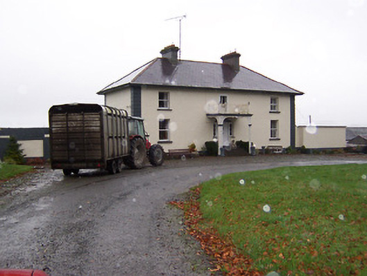 Soho Househouse · 149 yd
 Ballinacloonoutbuilding · 288 yd
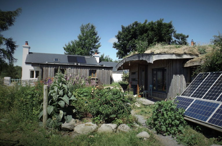 Enclosure in LackanEnclosure · 1222 yd
 Bridge Memorial (Kenna)Memorial · 1283 yd
 ConventEcclesiastical site · 1289 yd
 CastleCastle, unclassified · 1509 yd
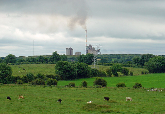 Partially indicatedCastle, motte · 1683 yd
 Carrickphilbin IslandIslet · 4.6 mi
 Baronstown ForestWood · 4.7 mi
 Horse-chestnutHorse-chestnut · 4.8 mi
 Srudarra IslandIslet · 5.0 mi
 Granard MotteMotte-and-bailey castle remains · 11 mi