What is recorded here
Situated in wet pastureland with ‘Tobercrummeen’ (WM006-064----) 10m to SSE and penitential station (WM006-053----) 200m to NW. Present remains consist of a large oval-shaped enclosure (approx. diam. 65m N-S; 76m E-W) visible on Digital Globe aerial photograph taken November 2011. Traces of an internal dividing bank running NE-SW across the interior with a possible hut site also visible in S quadrant. Earthworks to SE.
Situated in wet pastureland with ‘Tobercrummeen’ (WM006-064----) 10m to SSE and penitential station (WM006-053----) 200m to NW. Present remains consist of a large oval-shaped enclosure (approx. diam. 65m N-S; 76m E-W) visible on Digital Globe aerial photograph taken November 2011. Traces of an internal dividing bank running NE-SW across the interior with a possible hut site also visible in S quadrant. Earthworks…
From the National Monuments Service (Archaeological Survey of Ireland) record WM006-077
The monument record does not grant public access. Check the route and ask the landowner before entering private land.
- What survives
- Recorded monument
Places near here
Photo credits
- National Inventory of Architectural Heritage
- Mike Searle, Geograph · CC BY-SA 2.0
- Richard Webb, Geograph · CC BY-SA 2.0
- Stephan van Helden, Wikimedia Commons · CC BY-SA 4.0
- Peter Gavigan, Wikimedia Commons · CC BY-SA 3.0
- Malene Thyssen, Wikimedia Commons · CC BY-SA 3.0
- Gillaween, Wikimedia Commons · CC BY-SA 4.0
- Britishfinance, Wikimedia Commons · CC BY-SA 4.0
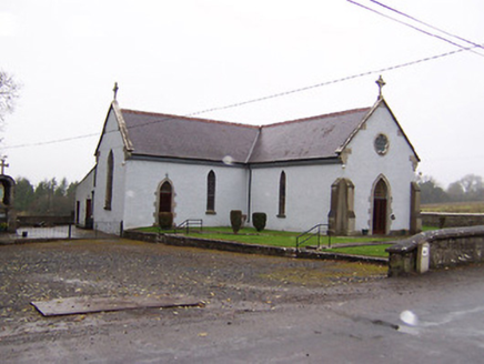 Saint Patrick's Catholic ChurchChurch/chapel · 1018 yd
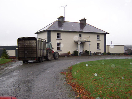 Soho HouseHouse · 1112 yd
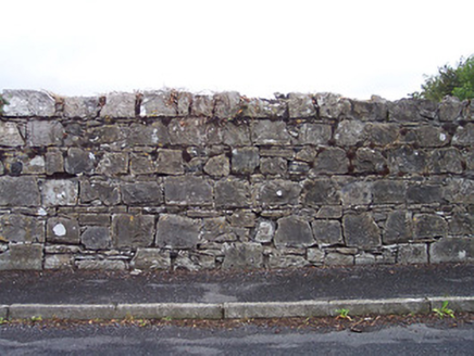 BallinacloonDemesne walls/gates/railings · 1374 ydPartially hachuredFairy fort / earthen ringfort · 1626 yd
 Carrick CastleCastle · 1.1 miBridge Memorial (Kenna)Memorial · 1.4 mi
 CastleCastle, motte · 4.0 mi
 Horse-chestnut4.1 mi
 Tullynally CastleCastle · 5.4 mi
 European Beech5.4 mi
 Sheela-na-gig in AbbeylaraSheela-na-gig · 9.2 mi
 Mullaghmeen ForestPicnic place · 10 mi
More archaeology and monuments in County Westmeath · All of County Westmeath
What do you know about this place?