What is recorded here
Located on a gentle N-facing slope with an E-W section of the River Sow c. 110m to the N. A circular feature (diam. c. 12m) defined by a continuous fosse (Wth c. 2-3m) is visible only on Google Earth (14/07/2018). It was first reported by Jean Charles Caillere.
See the attached aerial view from Google Earth
Compiled by: Michael Moore
Date of upload: 23 September 2019
The monument record does not grant public access. Check the route and ask the landowner before entering private land.
- What survives
- Recorded monument
Places near here
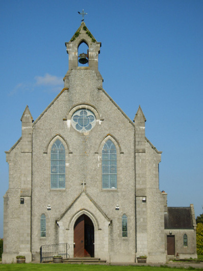 Catholic Church of Saint John the Baptistchurch/chapel · 260 yd
 graveyard/cemeterygraveyard/cemetery · 304 yd
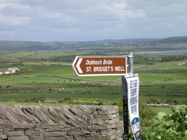 St, Bridgets WellHoly well · 1.3 mi
 IndicatedEnclosure · 1.4 mi
 1798 MonumentMemorial · 1.4 mi
 1916 MemorialMemorial · 2.1 mi
 Battle of Oulart Hill signVisitor information · 2.3 mi
 Embanked enclosureCastle, motte · 2.4 mi
 Oulart HillMountain / peak · 2.8 mi
 Ballingowan MoteCastle, motte · 3.3 mi
 71Mountain / peak · 4.3 mi
 Fontainebleau service treeFontainebleau service tree · 4.8 mi