What is recorded here
Located on a low SE-NW spur. Two concentric cropmark rings (max. diam. c. 10m) are visible on aerial photograph (CUCAP: BDP 6). It is not visible at ground level in pasture. Archaeological testing (09E0564) on an extensive area (dims c. 200m NW-SE; c. 140m NE-SW at NW to c. 190m NE-SW at SE) in Glentire townland and c. 130m to the E at the closest point produced no related archaeological material (Nelis 2012). A remote sensing magnetometer survey (18R0065) in advance of a quarry development confirmed the presence of archaeological features at this location (Gimson et al. 2018, 4, M11), and the possible ring-ditch (WX027-010001-) is c. 10m to the SW. This ring-ditch and five other possible ring-ditches will be excluded from the development, but archaeological testing (19E0010) of the rest of the proposed quarry area produced no related archaeological material (Carroll 2019; excavations.ie 2019: 384). Archaeological monitoring (20E0204) by M. Carroll (2020) of topsoil removal in an L-shaped area of c. 3.3 ha to the E and S of the ring-ditches produced no related archaeological material of archaeological features.
The above description is derived from the published 'Archaeological Inventory of County Wexford' (Dublin: Stationery Office, 1996). In certain instances the entries have been revised and updated in the light of recent research.
Compiled by: Michael Moore
Date of revision: 14 March 2016
Amended: 8 April, 2020; 9 November 2022
The monument record does not grant public access. Check the route and ask the landowner before entering private land.
- What survives
- Recorded monument
Places near here
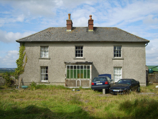 farm housefarm house · 843 yd
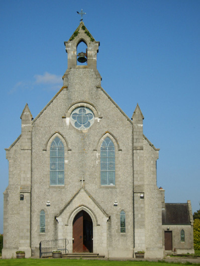 Catholic Church of Saint John the Baptistchurch/chapel · 1067 yd
 IndicatedEnclosure · 1728 yd
 1798 MonumentMemorial · 1.1 mi
 St. Johns WellHoly well · 1.2 mi
 1916 MemorialMemorial · 2.4 mi
 Battle of Oulart Hill signVisitor information · 2.6 mi
 Embanked enclosureCastle, motte · 2.9 mi
 Ballingowan MoteCastle, motte · 3.1 mi
 Oulart HillMountain / peak · 3.1 mi
 71Mountain / peak · 3.8 mi
 Blackwater Coastal Erosion Monitoring PointViewpoint · 4.8 mi